Transport Functions
Rail
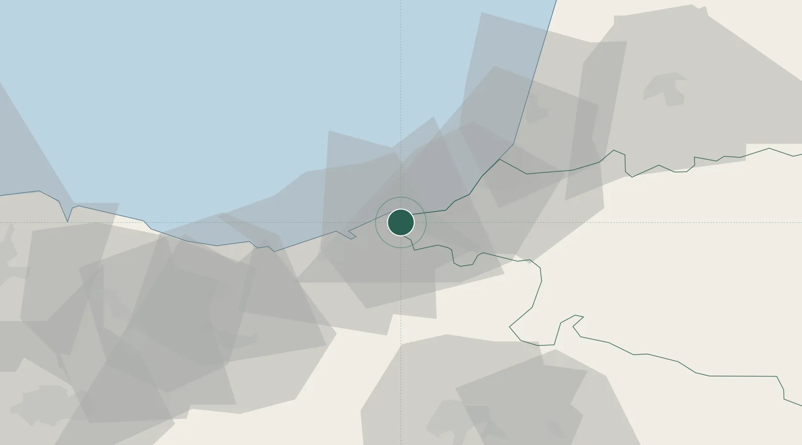
Hub Profile
Place type
Populated place
Region
Nouvelle-Aquitaine
Population
14,415
Time zone
Europe/Paris
Elevation
28 m
Location
Nearby Logistics Neighbours
Cities
- 1Fuenterrabía0 km
- 2Irún2 km
- 3Oiartzun (Elizalde)9 km
- 4Rentería11 km
- 5Zalain12 km
Ports
- 1Puerto De Pasajes13 km
- 2Bayonne30 km
- 3Bermeo76 km
- 4Puerto De Bilbao102 km
- 5Santander162 km
Airports
- 1San Sebastián Airport1 km
- 2Biarritz Pays Basque airport24 km
- 3Pamplona Airport67 km
- 4Bilbao Airport92 km
- 5Vitoria Airport93 km
Trade Zones
DatabookThe Record of Consolidated Knowledge
France beyond logistics?