Transport Functions
Port
Road
Hub Profile
Place type
District seat
Region
Castille-La Mancha
Population
1,393
Time zone
Europe/Madrid
Elevation
677 m
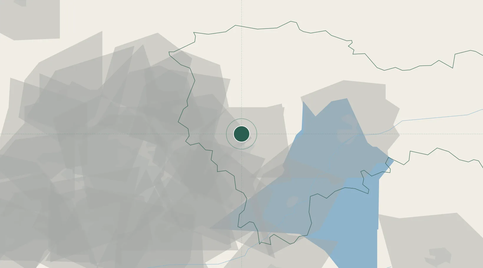
Location
Nearby Logistics Neighbours
Cities
- 1Chiloeches17 km
- 2Alovera18 km
- 3El Casar de Talamanca23 km
- 4Cogolludo25 km
- 5Talamanca de Jarama28 km
Ports
- 1Sagunto278 km
- 2Burriana281 km
- 3Valencia281 km
- 4El Grao283 km
- 5Puerto De Bilbao291 km
Airports
Trade Zones
DatabookThe Record of Consolidated Knowledge
Spain beyond logistics?