Transport Functions
Rail
Road
Hub Profile
Place type
District seat
Region
Castille-La Mancha
Population
10,734
Time zone
Europe/Madrid
Elevation
644 m
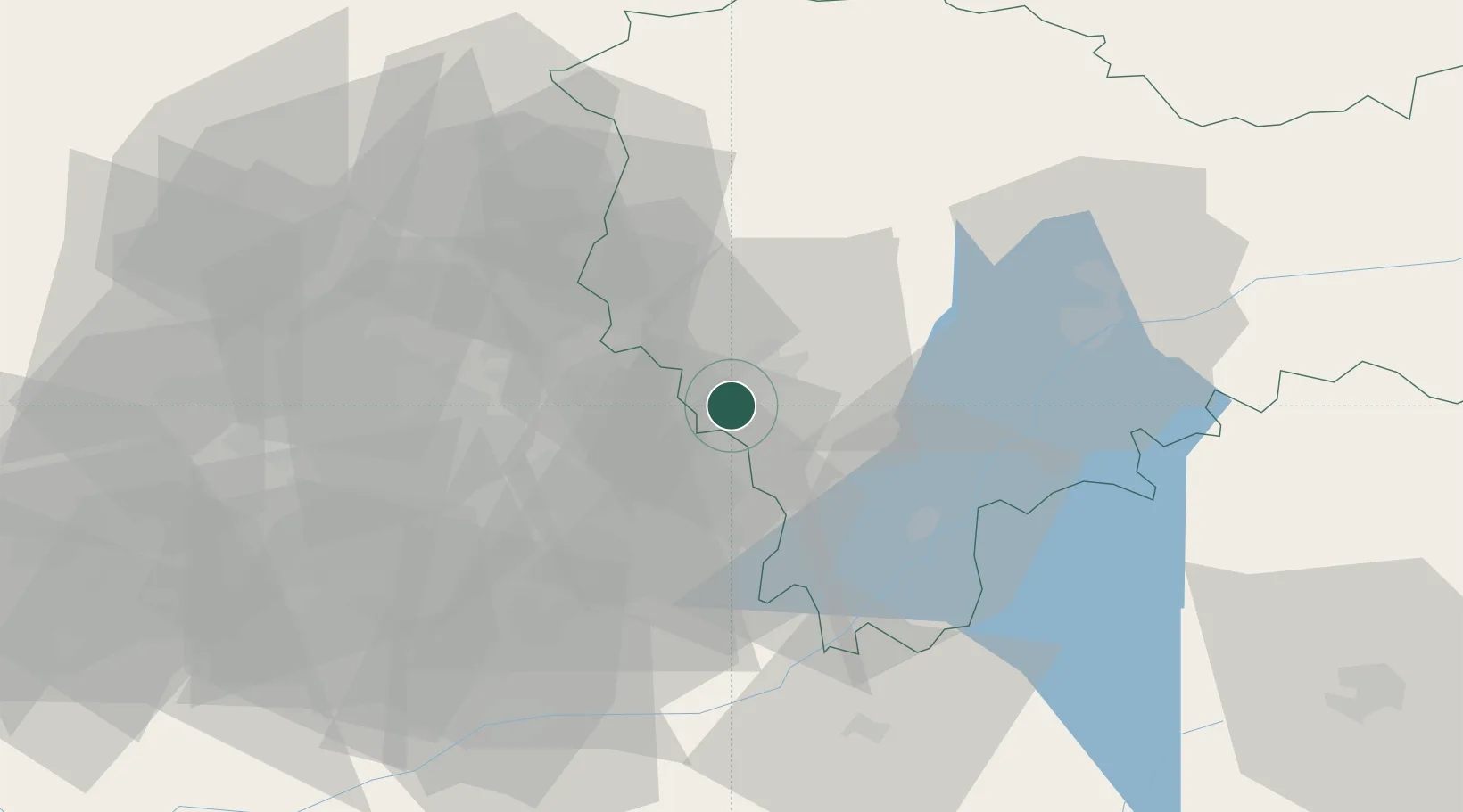
Location
Nearby Logistics Neighbours
Cities
- 1Chiloeches6 km
- 2Fontanar18 km
- 3Los Hueros18 km
- 4El Casar de Talamanca21 km
- 5Nuevo Baztán24 km
Ports
- 1Sagunto277 km
- 2Valencia279 km
- 3Burriana281 km
- 4El Grao284 km
- 5Puerto De Bilbao308 km
Airports
Trade Zones
DatabookThe Record of Consolidated Knowledge
Spain beyond logistics?