Transport Functions
Multimodal
Hub Profile
Place type
District seat
Region
Madrid
Time zone
Europe/Madrid
Elevation
774 m
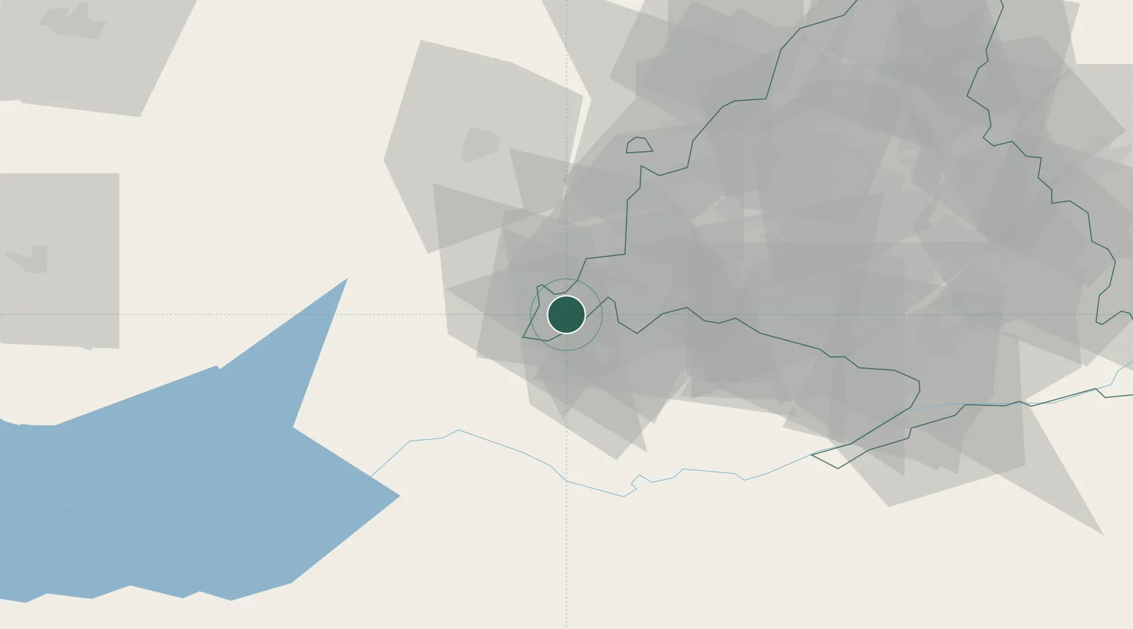
Location
Nearby Logistics Neighbours
Cities
- 1Almorox8 km
- 2La Adrada15 km
- 3Cebreros20 km
- 4Piedralaves21 km
- 5Quismondo23 km
Ports
- 1Sevilla349 km
- 2Aveiro357 km
- 3Santander360 km
- 4Puerto De Bilbao362 km
- 5Valencia366 km
Airports
Trade Zones
DatabookThe Record of Consolidated Knowledge
Spain beyond logistics?