UN/LOCODE hub · Estonia
EESIG

Sigatsuaru Väikesadam

58.1500°, 24.0000°
1
Transport functions

Transport Functions

Port
UN/LOCODE

Hub Profile

Region
68
GeoNames

Location

Location of EESIG
Natural Earth 10m (public domain) · 68 · EESIG · 58.15, 24.00GoogleOSMYandex

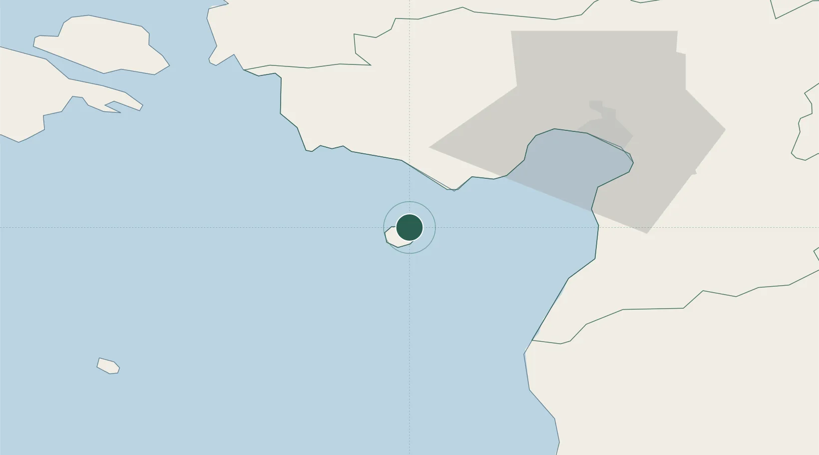
Nearby Logistics Neighbours

Cities
  1. 1Suaru Kalasadam2 km
  2. 2Kihnu2 km
  3. 3Suaru2 km
  4. 4Lao12 km
  5. 5Munalaiu12 km
Nearest neighbours — logibook spatial index (haversine) over the source coordinates
Ports
  1. 1Parnu38 km
  2. 2Salacgriva55 km
  3. 3Virtsu55 km
  4. 4Roomassaare88 km
  5. 5Rohukula91 km
Nearest neighbours — logibook spatial index (haversine) over the source coordinates
Airports
  1. 1Pärnu Airport41 km
  2. 2Ruhnu Airfield60 km
  3. 3Kuressaare Airport88 km
  4. 4Kärdla Airport116 km
  5. 5Ämari Air Base124 km
Nearest neighbours — logibook spatial index (haversine) over the source coordinates
Trade Zones
  1. 1Paldiski Free Zone132 km
  2. 2Free Port of Riga133 km
  3. 3Muuga Free Zone140 km
  4. 4Free port of Ventspils169 km
  5. 5Freeport of Hanko197 km
Nearest neighbours — logibook spatial index (haversine) over the source coordinates
DatabookThe Record of Consolidated Knowledge
Estonia beyond logistics?
Browse databook

All Sources

LocationsUN/LOCODE
UN/LOCODE — free
Portsthe NGA World Port Index
Public domain (US gov)
AirportsOurAirports
Public domain
Trade Zonesthe World Bank SEZ database
CC BY 4.0
Trade ZonesOpen Zone Map
CC BY
← Estonia locations