Transport Functions
Port
Multimodal
Hub Profile
Place type
Populated place
Region
Algiers
Population
117,558
Time zone
Africa/Algiers
Elevation
16 m
Logistics facilities
1
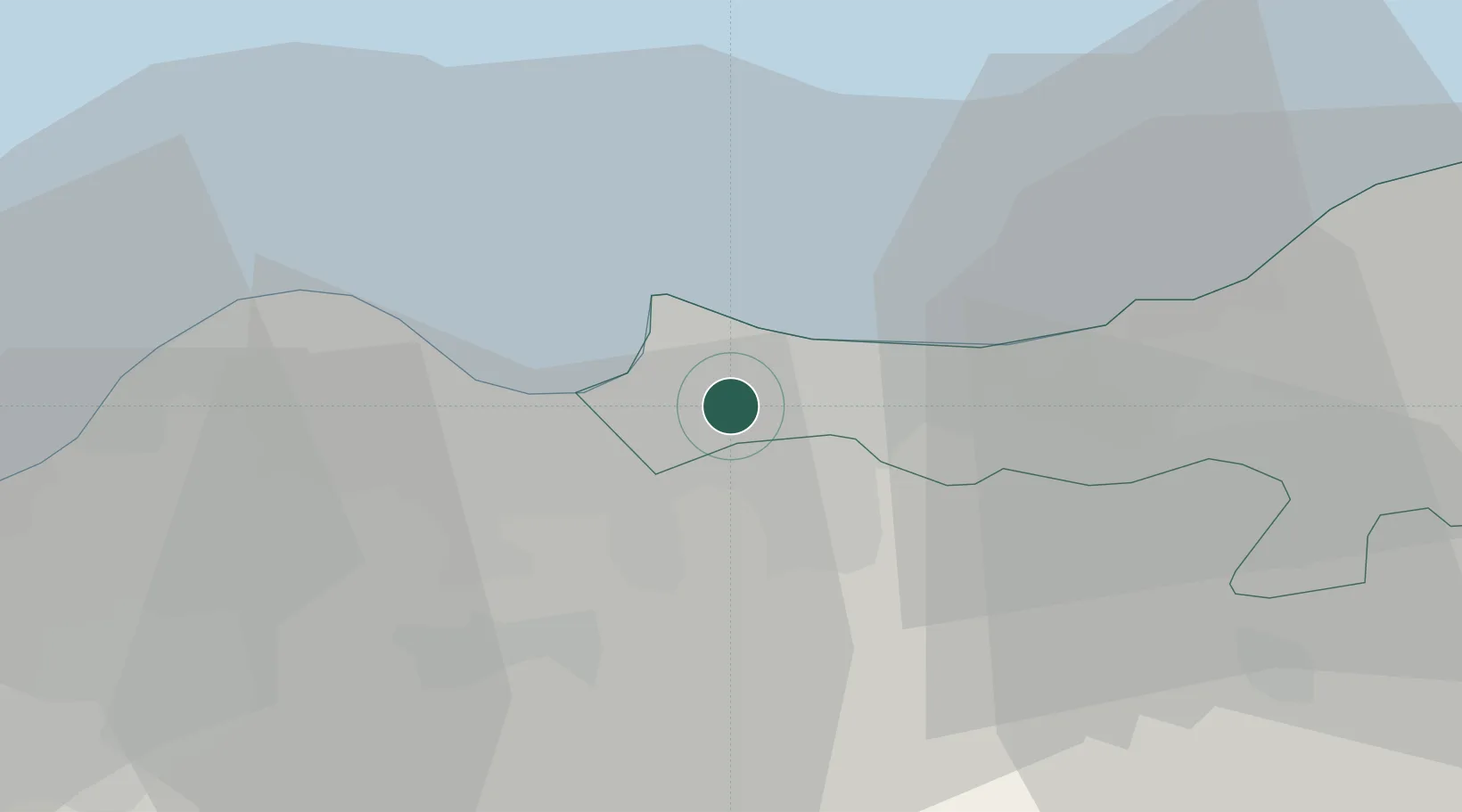
Location
Nearby Logistics Neighbours
Cities
- 1El Hamiz5 km
- 2Ain Taya6 km
- 3Ouled Haddadj6 km
- 4Alger (Algiers)10 km
- 5Kouba18 km
Airports
- 1Houari Boumediene Airport8 km
- 2Boufarik Air Base42 km
- 3Blida Airport49 km
- 4Soummam–Abane Ramdane Airport159 km
- 5Bou Saada Airport177 km
Trade Zones
- 1Depósito Franco de Alicante377 km
- 2Depósito Franco de Valencia436 km
- 3Depósito Franco de Tarragona518 km
- 4Zona Franca de Barcelona522 km
- 5Free Zone of Portovesme526 km
DatabookThe Record of Consolidated Knowledge
Algeria beyond logistics?