Transport Functions
Port
Road
Hub Profile
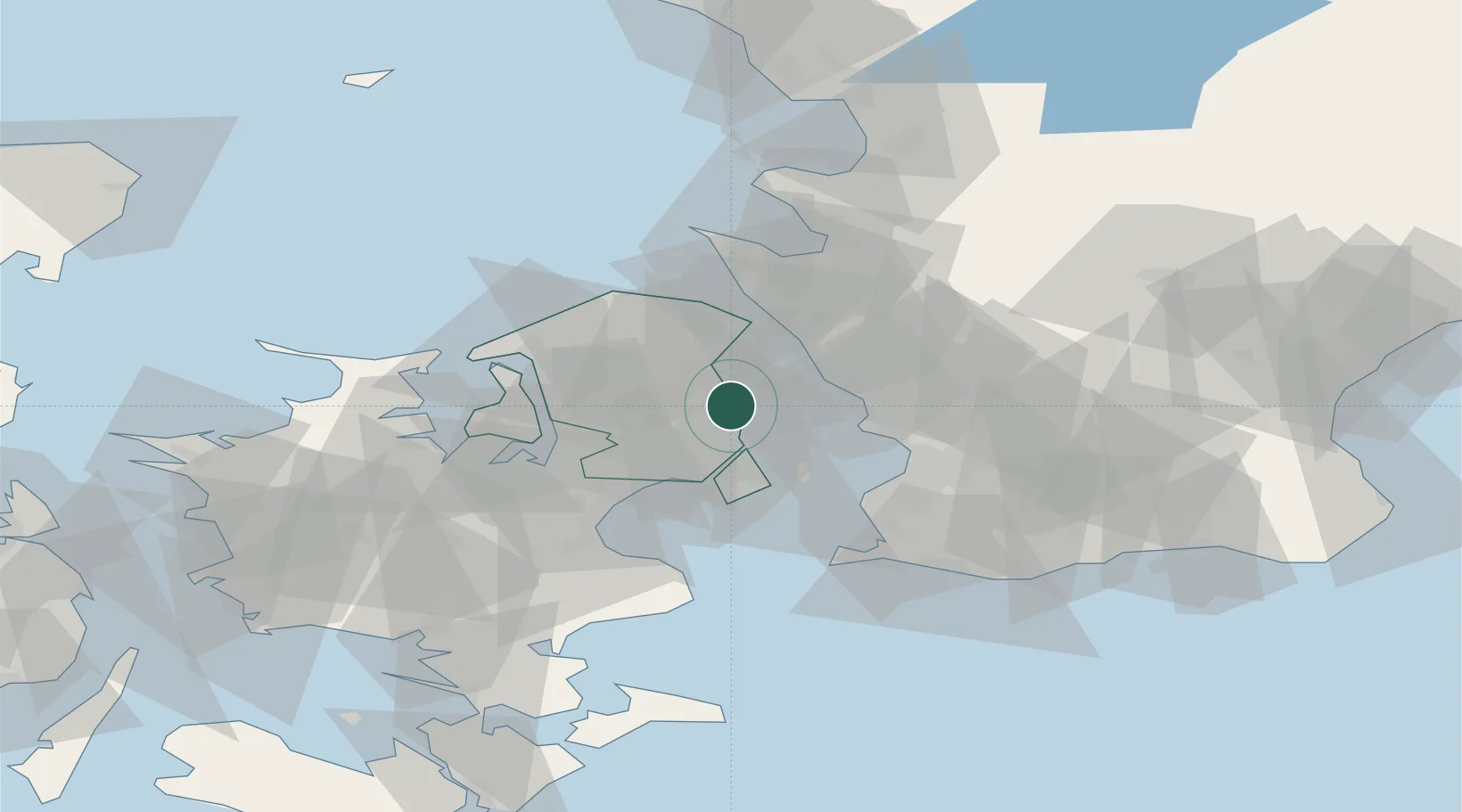
Place type
Populated place
Region
Capital Region
Population
1,269
Time zone
Europe/Copenhagen
Elevation
13 m
Location
Nearby Logistics Neighbours
Cities
- 1Skovshoved6 km
- 2Dyssegard10 km
- 3Nordhavn12 km
- 4Skovlunde15 km
- 5Rødovre16 km
Ports
- 1Tuborg11 km
- 2Kobenhavn13 km
- 3Landskrona17 km
- 4Helsingor24 km
- 5Helsingborg26 km
Airports
Trade Zones
DatabookThe Record of Consolidated Knowledge
Denmark beyond logistics?