Transport Functions
Port
Road
Hub Profile
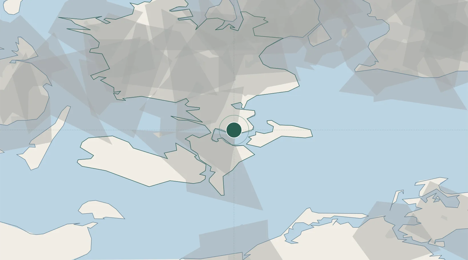
Place type
Populated place
Region
Zealand
Population
1,585
Time zone
Europe/Copenhagen
Elevation
60 m
Location
Nearby Logistics Neighbours
Cities
- 1Masnedsund Godningshamn7 km
- 2Vordingborg Nordhavnen7 km
- 3Bogo By8 km
- 4Vordingborg9 km
- 5Vordingborg Sydhavnen10 km
Ports
- 1Vordingborg9 km
- 2Stubbekobing13 km
- 3Stege16 km
- 4Fakse Ladeplads Havn26 km
- 5Nykobing28 km
Airports
Trade Zones
- 1Freeport of Copenhagen- Nordhavn87 km
- 2MTS Malmö Transport and Spedition95 km
- 3Freeport of Kiel141 km
- 4Swinoujscie Duty Free Zone190 km
- 5Szczecin Duty Free Zone241 km
DatabookThe Record of Consolidated Knowledge
Denmark beyond logistics?