Transport Functions
Port
Hub Profile
Place type
Populated place
Region
Zealand
Time zone
Europe/Copenhagen
Elevation
25 m
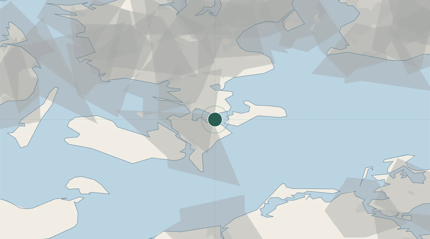
Location
Nearby Logistics Neighbours
Cities
- 1Stubbekøbing6 km
- 2Stensved8 km
- 3Masnedovaerkets Havn/Vordingborg11 km
- 4Masnedsund Godningshamn11 km
- 5Vordingborg Nordhavnen11 km
Ports
- 1Stubbekobing6 km
- 2Vordingborg12 km
- 3Stege16 km
- 4Nykobing22 km
- 5Sakskobing31 km
Airports
Trade Zones
- 1Freeport of Copenhagen- Nordhavn94 km
- 2MTS Malmö Transport and Spedition100 km
- 3Freeport of Kiel138 km
- 4Swinoujscie Duty Free Zone184 km
- 5Szczecin Duty Free Zone235 km
DatabookThe Record of Consolidated Knowledge
Denmark beyond logistics?