UN/LOCODE hub · Denmark
DKVBS

Vordingborg Sydhavnen

54.9833°, 11.8833°
1
Transport functions

Transport Functions

Port
UN/LOCODE

Hub Profile

Region
85
GeoNames

Location

Location of DKVBS
Natural Earth 10m (public domain) · 85 · DKVBS · 54.98, 11.88GoogleOSMYandex

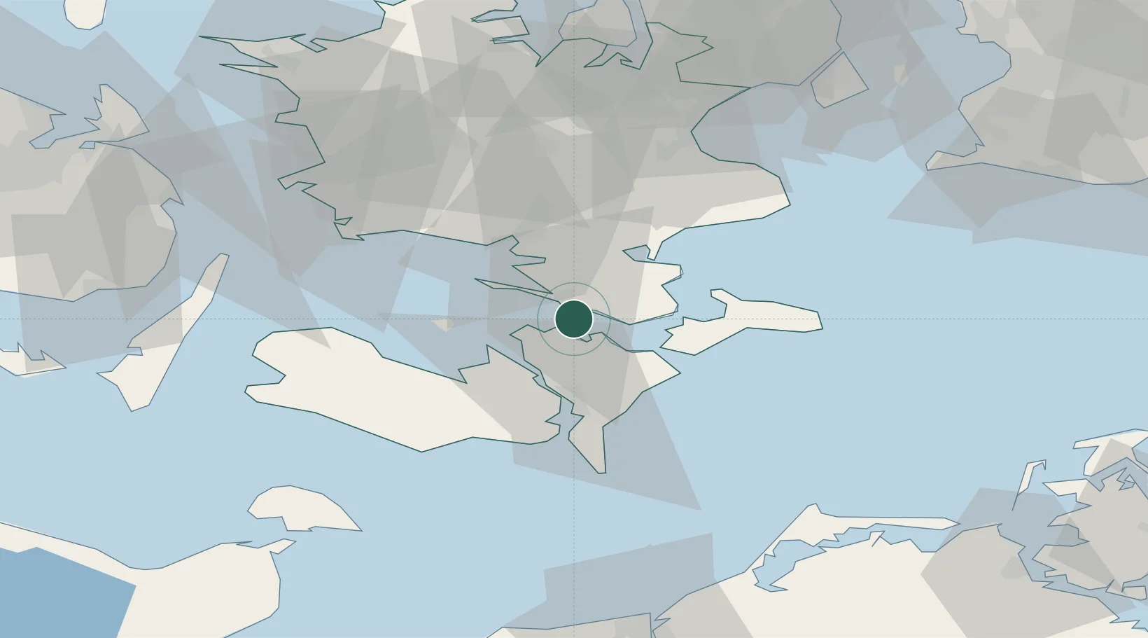
Nearby Logistics Neighbours

Cities
  1. 1Masnedovaerkets Havn/Vordingborg2 km
  2. 2Masnedsund2 km
  3. 3Vordingborg2 km
  4. 4Masnedsund Godningshamn3 km
  5. 5Vordingborg Nordhavnen3 km
Nearest neighbours — logibook spatial index (haversine) over the source coordinates
Ports
  1. 1Vordingborg2 km
  2. 2Stubbekobing15 km
  3. 3Nykobing24 km
  4. 4Stege26 km
  5. 5Sakskobing26 km
Nearest neighbours — logibook spatial index (haversine) over the source coordinates
Airports
  1. 1Lolland Falster Maribo Airport43 km
  2. 2Ringsted Airfield49 km
  3. 3Copenhagen Roskilde Airport69 km
  4. 4Sydfyn (Tasinge) Airfield84 km
  5. 5Copenhagen Kastrup Airport86 km
Nearest neighbours — logibook spatial index (haversine) over the source coordinates
Trade Zones
  1. 1Freeport of Copenhagen- Nordhavn93 km
  2. 2MTS Malmö Transport and Spedition103 km
  3. 3Freeport of Kiel132 km
  4. 4Swinoujscie Duty Free Zone196 km
  5. 5Szczecin Duty Free Zone247 km
Nearest neighbours — logibook spatial index (haversine) over the source coordinates
DatabookThe Record of Consolidated Knowledge
Denmark beyond logistics?
Browse databook

All Sources

LocationsUN/LOCODE
UN/LOCODE — free
Portsthe NGA World Port Index
Public domain (US gov)
AirportsOurAirports
Public domain
Trade Zonesthe World Bank SEZ database
CC BY 4.0
Trade ZonesOpen Zone Map
CC BY
← Denmark locations