Transport Functions
Road
Multimodal
Hub Profile
Region
85
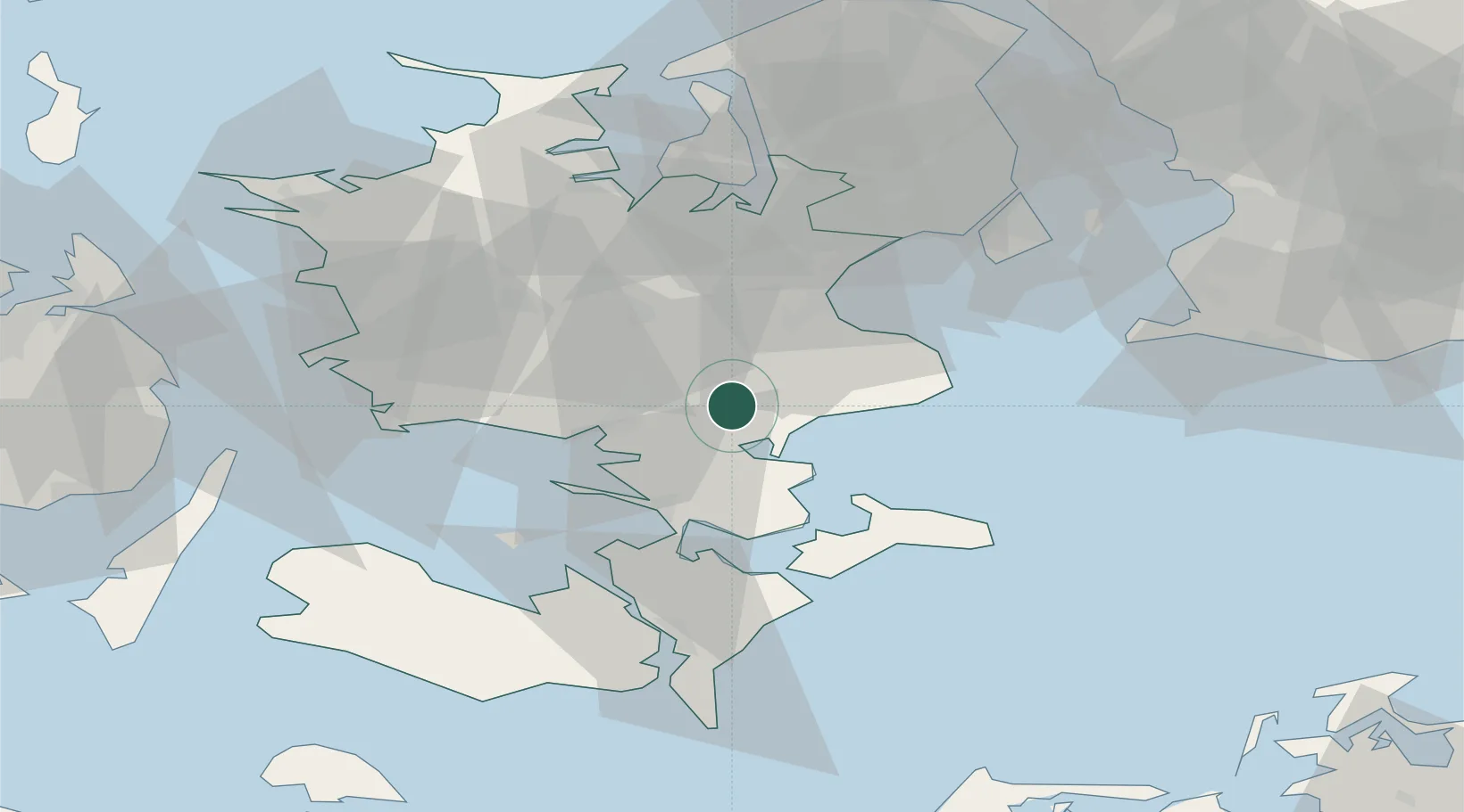
Location
Nearby Logistics Neighbours
Cities
- 1Fakse9 km
- 2Holme-Olstrup11 km
- 3Næstved15 km
- 4Præstø15 km
- 5Hårlev17 km
Ports
- 1Fakse Ladeplads Havn11 km
- 2Naestved16 km
- 3Koge26 km
- 4Vordingborg29 km
- 5Stege35 km
Airports
Trade Zones
- 1Freeport of Copenhagen- Nordhavn64 km
- 2MTS Malmö Transport and Spedition80 km
- 3Freeport of Kiel155 km
- 4Swinoujscie Duty Free Zone210 km
- 5Szczecin Duty Free Zone263 km
DatabookThe Record of Consolidated Knowledge
Denmark beyond logistics?