Transport Functions
Multimodal
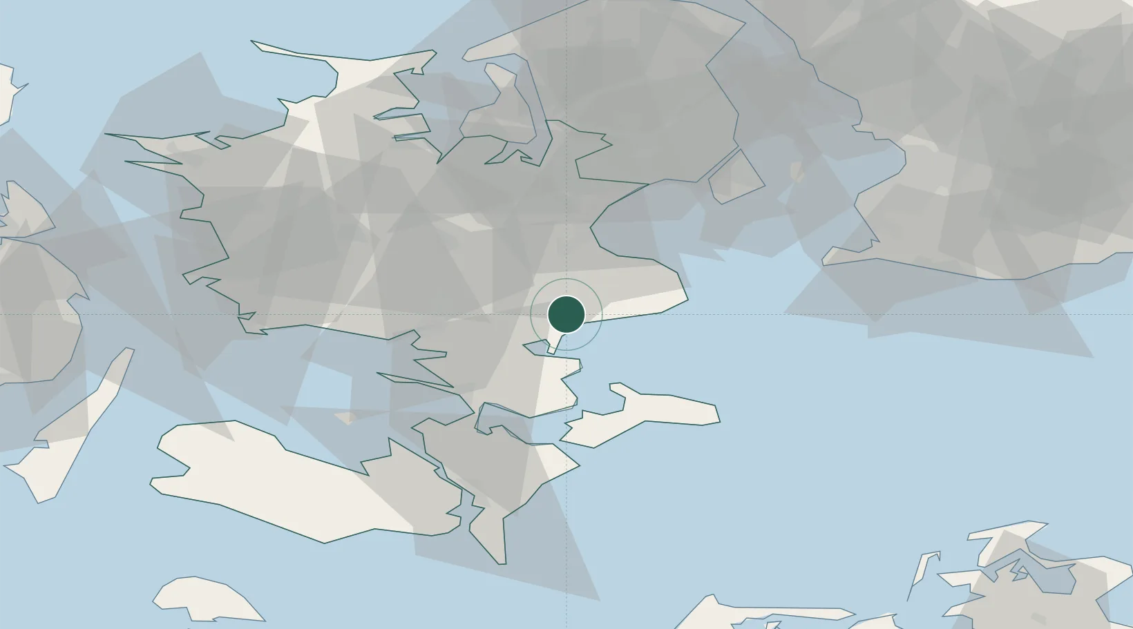
Hub Profile
Region
85
Location
Nearby Logistics Neighbours
Cities
- 1Rønnede9 km
- 2Hårlev11 km
- 3Rødvig Havn15 km
- 4Præstø16 km
- 5Strøby18 km
Ports
- 1Fakse Ladeplads Havn4 km
- 2Koge23 km
- 3Naestved24 km
- 4Stege31 km
- 5Vordingborg32 km
Airports
Trade Zones
- 1Freeport of Copenhagen- Nordhavn60 km
- 2MTS Malmö Transport and Spedition72 km
- 3Freeport of Kiel162 km
- 4Swinoujscie Duty Free Zone204 km
- 5Szczecin Duty Free Zone258 km
DatabookThe Record of Consolidated Knowledge
Denmark beyond logistics?