Transport Functions
Road
Multimodal
Hub Profile
Region
85
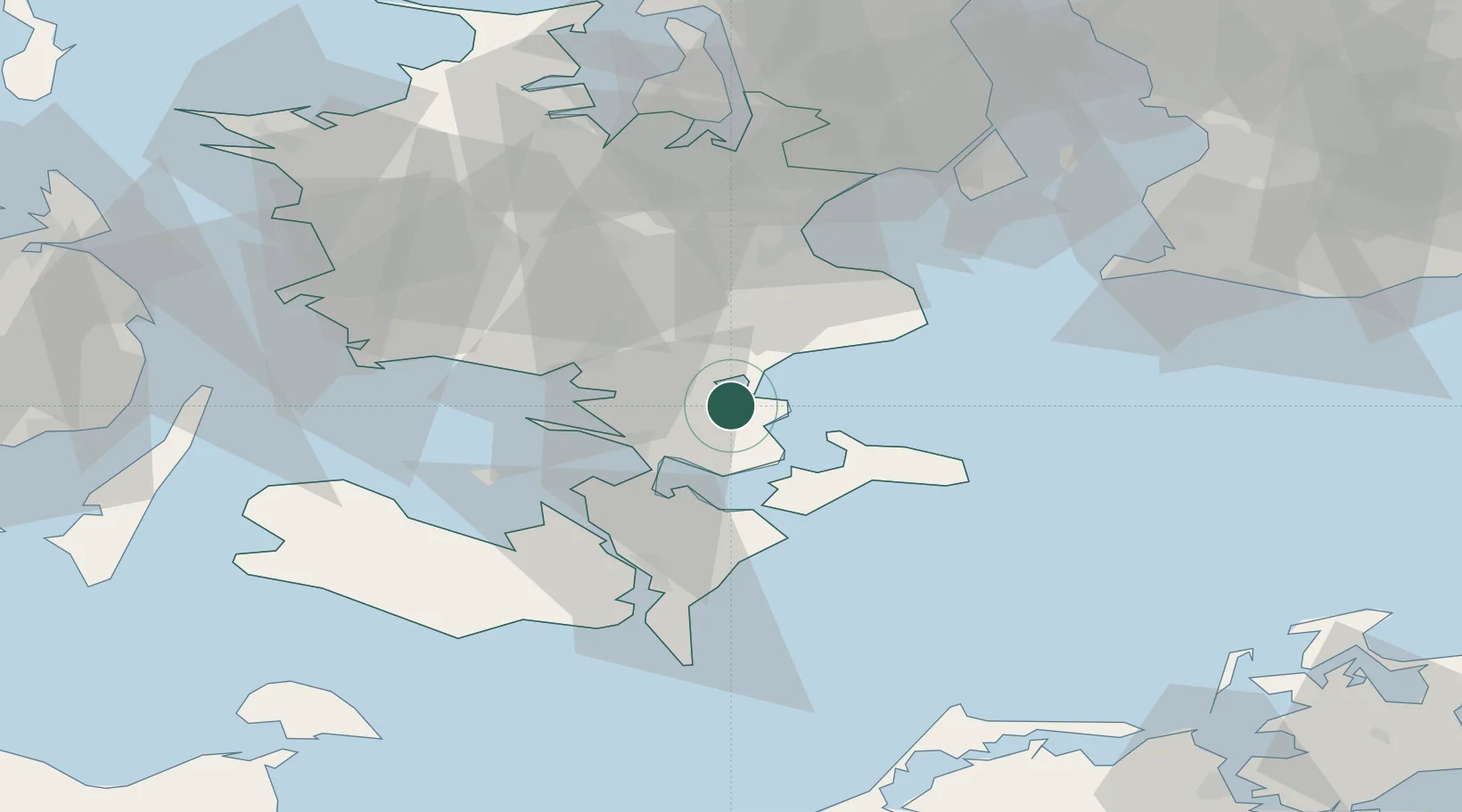
Location
Nearby Logistics Neighbours
Cities
- 1Snertinge10 km
- 2Stensved13 km
- 3Rønnede15 km
- 4Masnedsund Godningshamn16 km
- 5Vordingborg Nordhavnen16 km
Ports
- 1Fakse Ladeplads Havn13 km
- 2Vordingborg16 km
- 3Stege21 km
- 4Naestved23 km
- 5Stubbekobing26 km
Airports
Trade Zones
- 1Freeport of Copenhagen- Nordhavn75 km
- 2MTS Malmö Transport and Spedition86 km
- 3Freeport of Kiel149 km
- 4Swinoujscie Duty Free Zone198 km
- 5Szczecin Duty Free Zone250 km
DatabookThe Record of Consolidated Knowledge
Denmark beyond logistics?