UN/LOCODE hub · Denmark
DKNVD

Næstved

55.2333°, 11.7667°
4
Transport functions

Transport Functions

Port
Rail
Road
Multimodal
Næstved is also a profiled seaport →
UN/LOCODE

Hub Profile

Region
85
GeoNames

Location

Location of DKNVD
Natural Earth 10m (public domain) · 85 · DKNVD · 55.23, 11.77GoogleOSMYandex

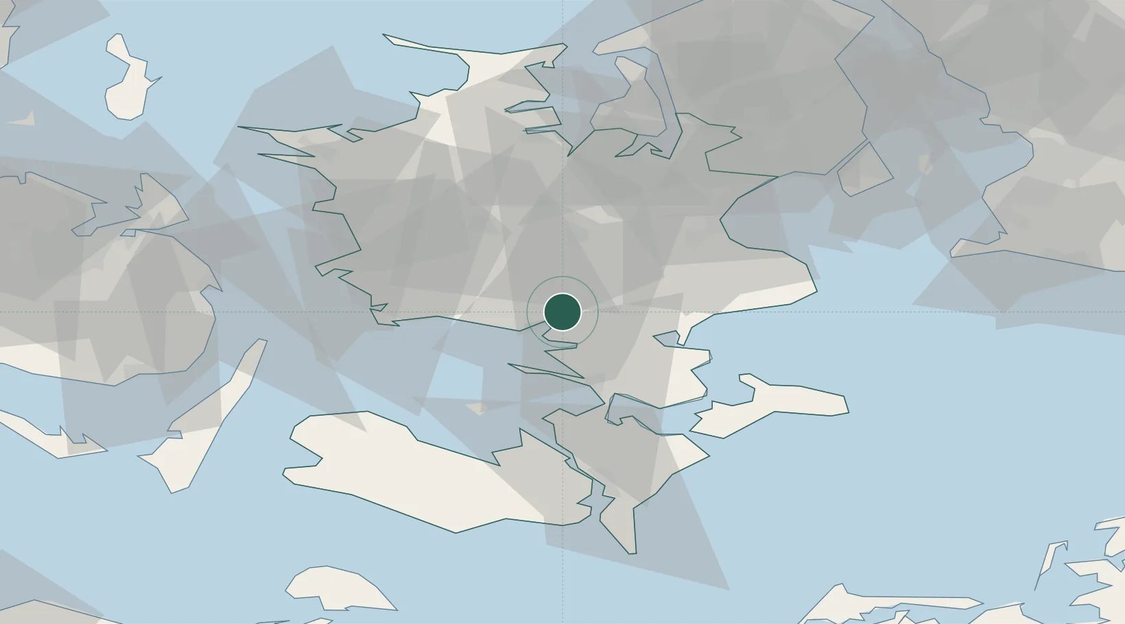
Nearby Logistics Neighbours

Cities
  1. 1Holme-Olstrup5 km
  2. 2Karrebæksminde8 km
  3. 3Rønnede15 km
  4. 4Sandved15 km
  5. 5Snertinge21 km
Nearest neighbours — logibook spatial index (haversine) over the source coordinates
Ports
  1. 1Fakse Ladeplads Havn25 km
  2. 2Vordingborg27 km
  3. 3Skaelskor30 km
  4. 4Gulfhaven32 km
  5. 5Stigsnaesvaerkets Havn33 km
Nearest neighbours — logibook spatial index (haversine) over the source coordinates
Airports
  1. 1Ringsted Airfield22 km
  2. 2Copenhagen Roskilde Airport45 km
  3. 3Lolland Falster Maribo Airport63 km
  4. 4Copenhagen Kastrup Airport71 km
  5. 5København Vandflyveplads73 km
Nearest neighbours — logibook spatial index (haversine) over the source coordinates
Trade Zones
  1. 1Freeport of Copenhagen- Nordhavn75 km
  2. 2MTS Malmö Transport and Spedition93 km
  3. 3Freeport of Kiel143 km
  4. 4Swinoujscie Duty Free Zone220 km
  5. 5Freeport of Cuxhaven (Freihafen Cuxhaven)259 km
Nearest neighbours — logibook spatial index (haversine) over the source coordinates
DatabookThe Record of Consolidated Knowledge
Denmark beyond logistics?
Browse databook

All Sources

LocationsUN/LOCODE
UN/LOCODE — free
Portsthe NGA World Port Index
Public domain (US gov)
AirportsOurAirports
Public domain
Trade Zonesthe World Bank SEZ database
CC BY 4.0
Trade ZonesOpen Zone Map
CC BY
← Denmark locations