Transport Functions
Rail
Hub Profile
Place type
Populated place
Region
Zealand
Time zone
Europe/Copenhagen
Elevation
37 m
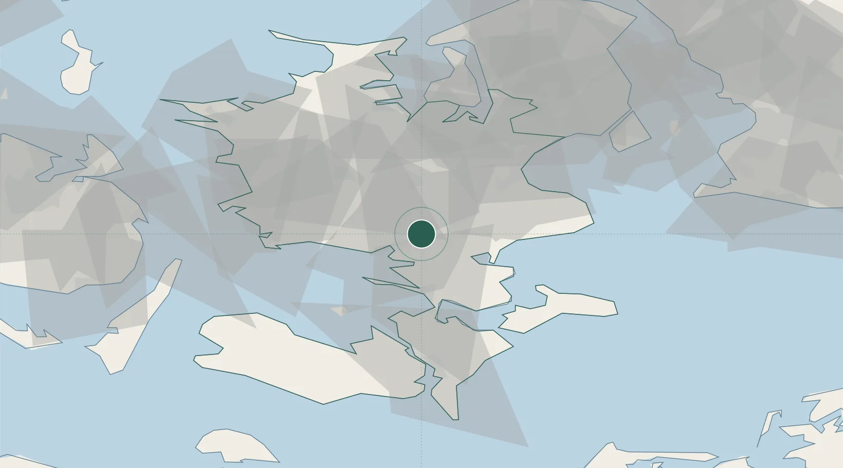
Location
Nearby Logistics Neighbours
Cities
- 1Næstved5 km
- 2Rønnede11 km
- 3Karrebæksminde13 km
- 4Fakse19 km
- 5Sandved19 km
Ports
- 1Naestved6 km
- 2Fakse Ladeplads Havn22 km
- 3Vordingborg28 km
- 4Koge32 km
- 5Skaelskor34 km
Airports
Trade Zones
DatabookThe Record of Consolidated Knowledge
Denmark beyond logistics?