Transport Functions
Multimodal
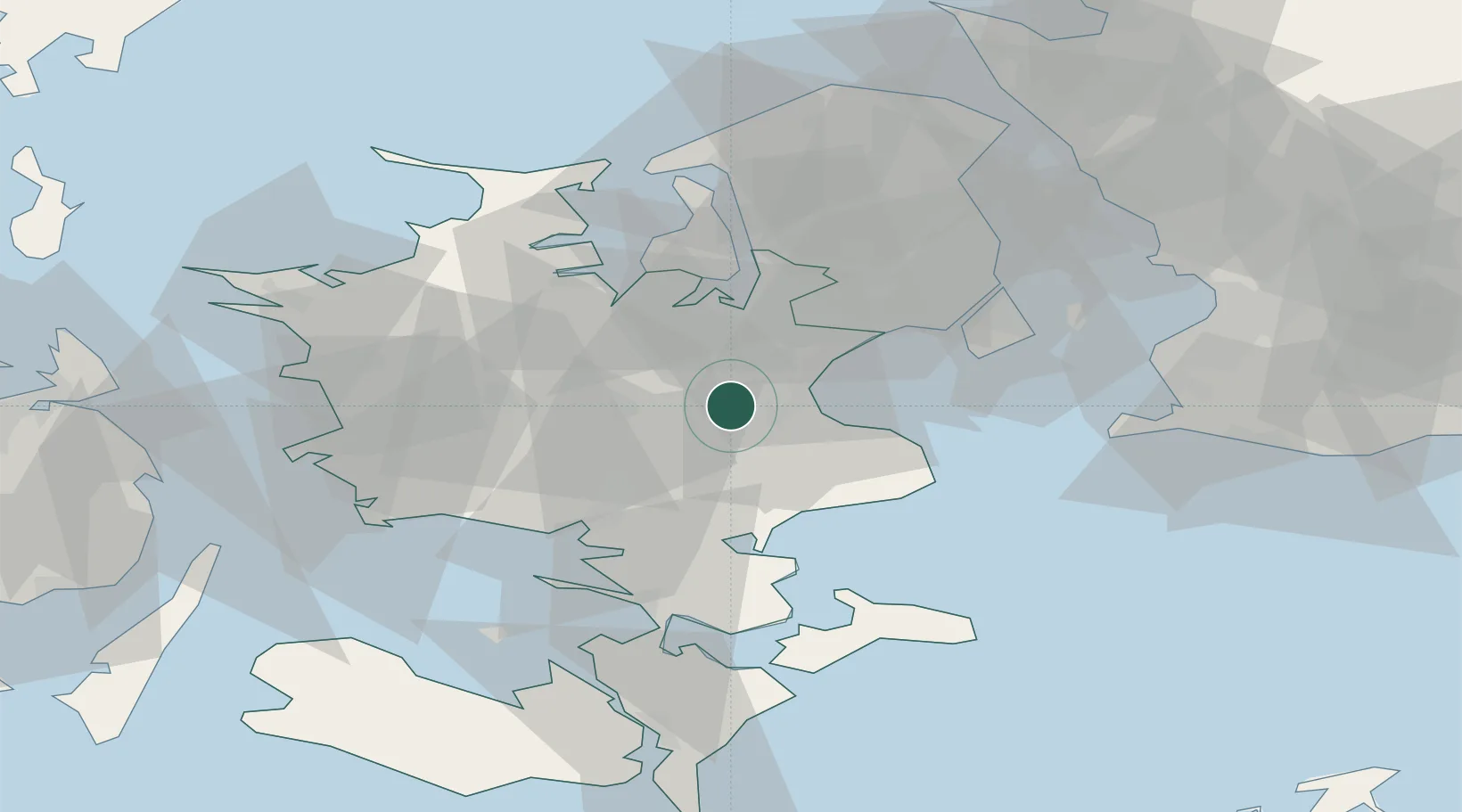
Hub Profile
Place type
Populated place
Region
Zealand
Population
2,988
Time zone
Europe/Copenhagen
Elevation
30 m
Location
Nearby Logistics Neighbours
Cities
- 1Havdrup10 km
- 2Solrød Strand16 km
- 3Karlslunde17 km
- 4Hårlev18 km
- 5Strøby18 km
Ports
- 1Koge11 km
- 2Fakse Ladeplads Havn27 km
- 3Naestved30 km
- 4Holbaek36 km
- 5Kyndbyvaerkets42 km
Airports
- 1Ringsted Airfield15 km
- 2Copenhagen Roskilde Airport16 km
- 3Copenhagen Kastrup Airport43 km
- 4København Vandflyveplads45 km
- 5Malmö Sturup Airport85 km
Trade Zones
DatabookThe Record of Consolidated Knowledge
Denmark beyond logistics?