UN/LOCODE hub · Germany
DEBRV
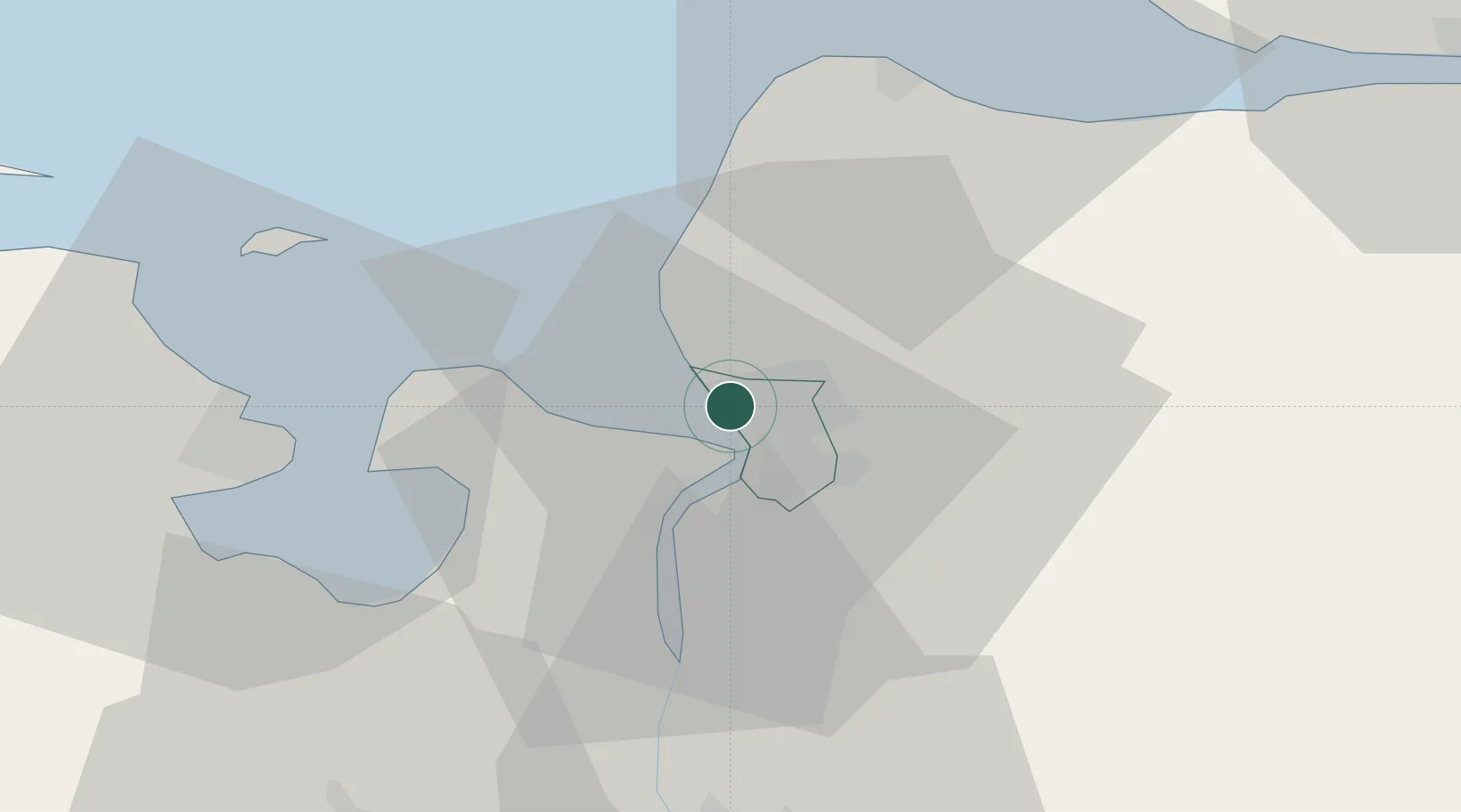
Bremerhaven
53.5822°, 8.5484°
113,557
Population
4
Transport functions
4
Container terminals
Transport Functions
Port
Rail
Road
Airport
Hub Profile
Place type
Populated place
Region
City state Bremen
Population
113,557
Time zone
Europe/Berlin
Elevation
2 m
Logistics facilities
12
Container terminals
4
Location
Nearby Logistics Neighbours
Cities
- 1Debstedt7 km
- 2Nordenham10 km
- 3Bramel11 km
- 4Butjadingen12 km
- 5Abbehausen13 km
Ports
- 1Nordenham12 km
- 2Wilhelmshaven26 km
- 3Brake28 km
- 4Cuxhaven34 km
- 5Elsfleth39 km
Airports
Trade Zones
DatabookThe Record of Consolidated Knowledge
Germany beyond logistics?