Transport Functions
Rail
Road
Airport
Postal
Hub Profile
Place type
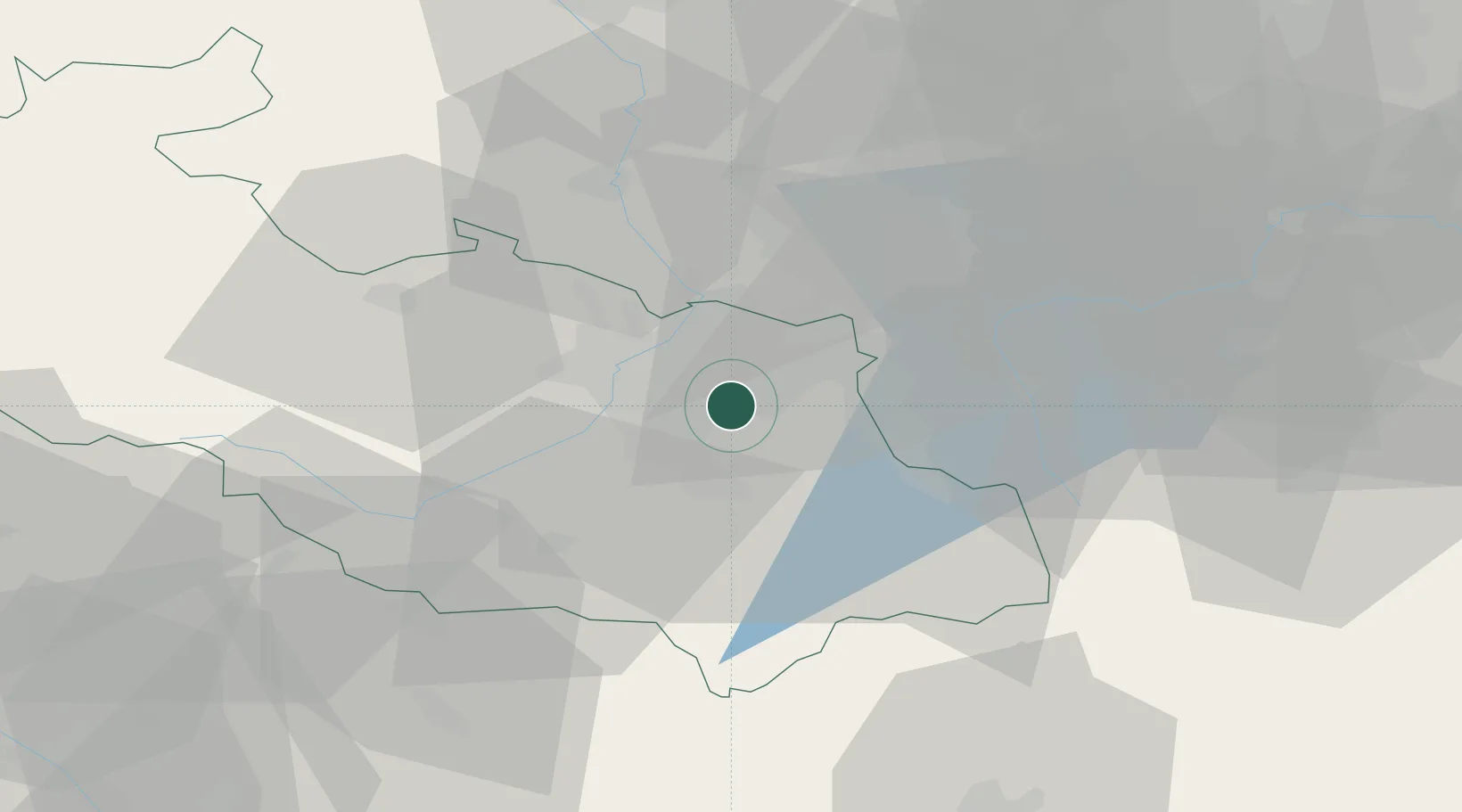
Regional capital
Region
Moravskoslezský
Population
279,791
Time zone
Europe/Prague
Elevation
211 m
Logistics facilities
3
Location
Nearby Logistics Neighbours
DatabookThe Record of Consolidated Knowledge
Czechia beyond logistics?