UN/LOCODE hub · Russia
RUSAK
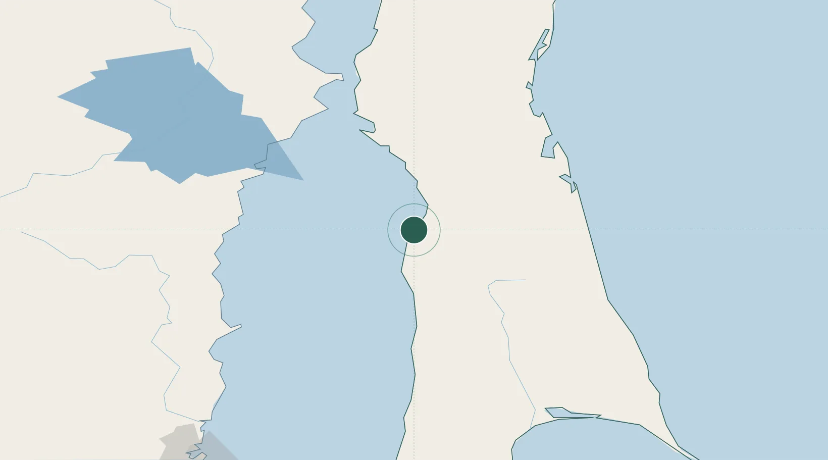
Aleksandrovsk-Sakhalinskiy
50.9000°, 142.1500°
12,024
Population
2
Transport functions
Transport Functions
Port
Road
Hub Profile
Place type
Provincial seat
Region
Sakhalin Oblast
Population
12,024
Time zone
Asia/Sakhalin
Elevation
37 m
Location
Nearby Logistics Neighbours
Ports
- 1Mys Rogatyy Oktyabrskiy19 km
- 2De Kastri114 km
- 3Lazarev153 km
- 4Lesogorsk161 km
- 5Shakhtersk193 km
Airports
- 1Nogliki Airport120 km
- 2Shakhtyorsk Airport190 km
- 3Bogorodskoye Airport202 km
- 4Kamenny Ruchey Naval Air Base232 km
- 5Sovetskaya Gavan (Maygatka) Airport267 km
DatabookThe Record of Consolidated Knowledge
Russia beyond logistics?