Transport Functions
Port
Road
Hub Profile
Region
SAK
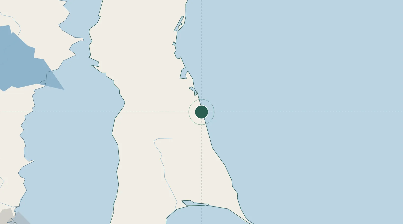
Location
Nearby Logistics Neighbours
Cities
- 1Okruzhnoe70 km
- 2Boranovice84 km
- 3Libis84 km
- 4Kralovice84 km
- 5Aleksandrovsk-Sakhalinskiy102 km
Ports
- 1Aleksandrovsk -Sakhalinskiy103 km
- 2Mys Rogatyy Oktyabrskiy108 km
- 3Poronaysk194 km
- 4Lesogorsk195 km
- 5Lazarev203 km
Airports
- 1Nogliki Airport100 km
- 2Shakhtyorsk Airport222 km
- 3Bogorodskoye Airport270 km
- 4Kamenny Ruchey Naval Air Base308 km
- 5Nikolayevsk-na-Amure Airport319 km
Trade Zones
DatabookThe Record of Consolidated Knowledge
Russia beyond logistics?