Transport Functions
Port
Road
Multimodal
Hub Profile
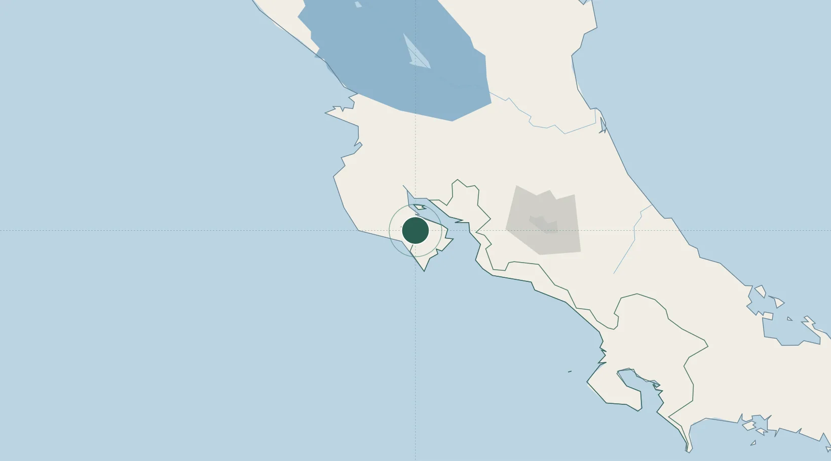
Place type
Populated place
Region
Puntarenas Province
Time zone
America/Costa_Rica
Elevation
77 m
Location
Nearby Logistics Neighbours
Ports
- 1Puntarenas39 km
- 2Puerto Caldera51 km
- 3Puerto Quepos123 km
- 4Puerto Moin230 km
- 5Puerto Limon238 km
Airports
Trade Zones
- 1Zona Franca Puntarenas, SA52 km
- 2Puntarenas Free Trade Zone56 km
- 3Activa Industrial Park94 km
- 4AAA Top Talent Free Trade Zone95 km
- 5Coyol Free Zone100 km
DatabookThe Record of Consolidated Knowledge
Costa Rica beyond logistics?