Transport Functions
Port
Road
Multimodal
Hub Profile
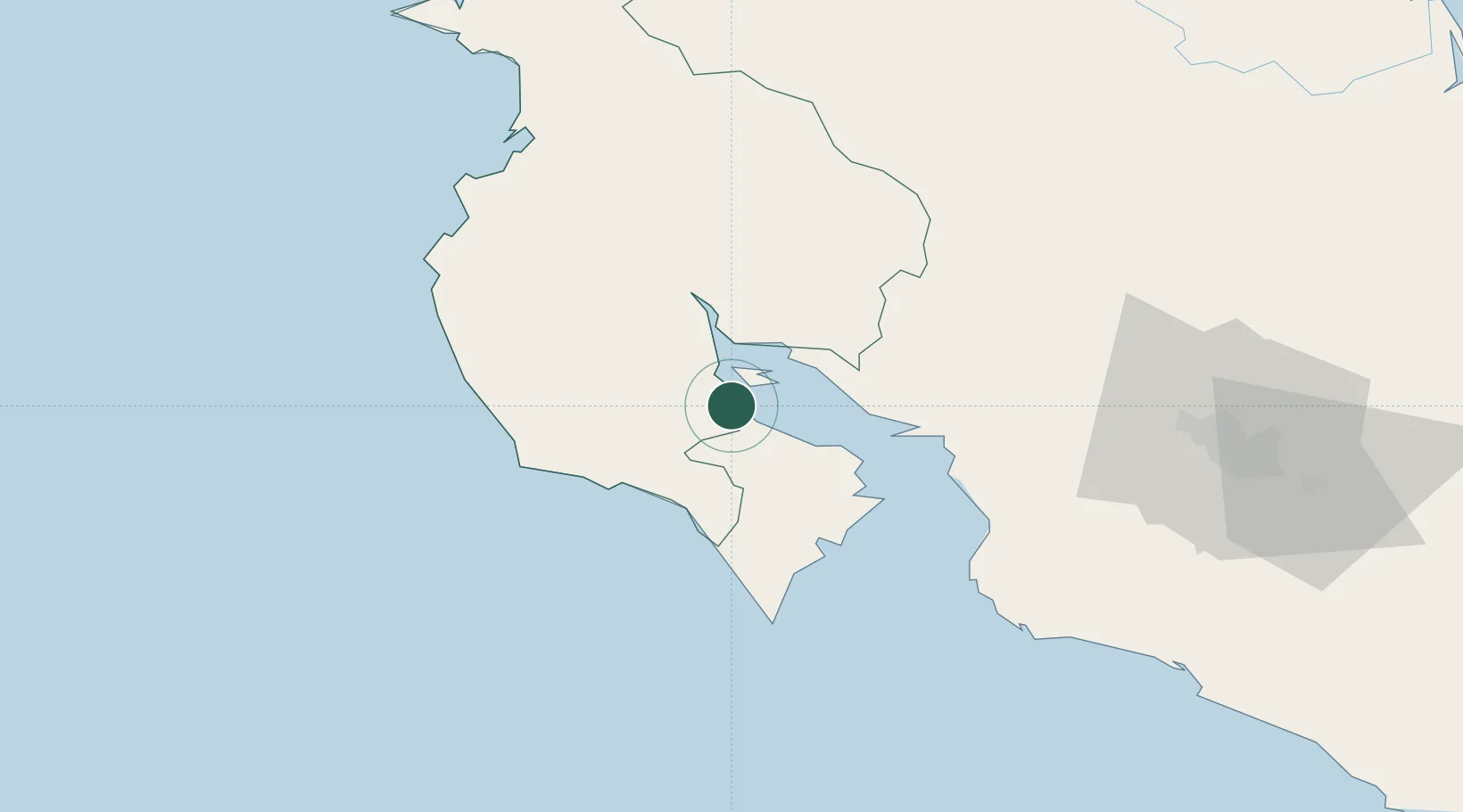
Place type
Populated place
Region
Guanacaste Province
Population
1,649
Time zone
America/Costa_Rica
Elevation
11 m
Location
Nearby Logistics Neighbours
Ports
- 1Puntarenas41 km
- 2Puerto Caldera55 km
- 3Puerto Quepos131 km
- 4Puerto Moin232 km
- 5Puerto Limon239 km
Airports
Trade Zones
- 1Zona Franca Puntarenas, SA53 km
- 2Puntarenas Free Trade Zone60 km
- 3Activa Industrial Park94 km
- 4AAA Top Talent Free Trade Zone95 km
- 5Coyol Free Zone101 km
DatabookThe Record of Consolidated Knowledge
Costa Rica beyond logistics?