Transport Functions
Port
Road
Multimodal
Hub Profile
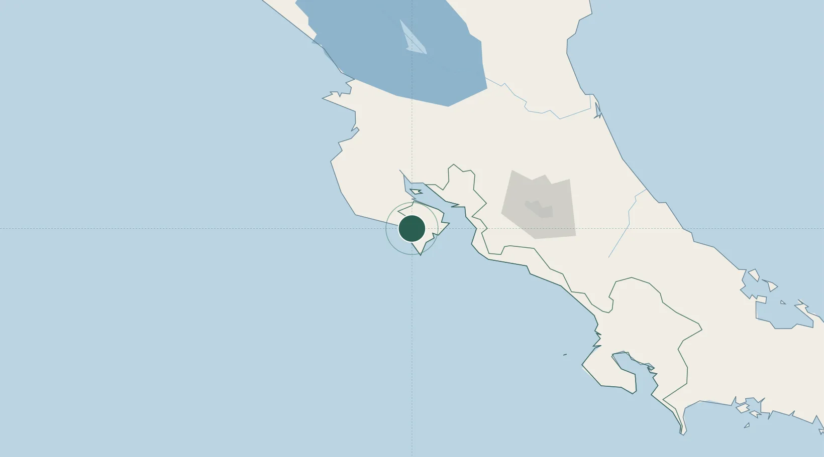
Place type
Populated place
Region
Puntarenas Province
Time zone
America/Costa_Rica
Elevation
70 m
Location
Nearby Logistics Neighbours
Cities
- 1Puerto Coyote9 km
- 2Tres Ríos13 km
- 3La Tigra17 km
- 4Jicaral22 km
- 5Pavones24 km
Ports
- 1Puntarenas44 km
- 2Puerto Caldera53 km
- 3Puerto Quepos118 km
- 4Puerto Moin231 km
- 5Puerto Limon238 km
Airports
Trade Zones
- 1Zona Franca Puntarenas, SA55 km
- 2Puntarenas Free Trade Zone58 km
- 3Activa Industrial Park97 km
- 4AAA Top Talent Free Trade Zone99 km
- 5Coyol Free Zone102 km
DatabookThe Record of Consolidated Knowledge
Costa Rica beyond logistics?