Transport Functions
Port
Road
Multimodal
Hub Profile
Place type
Populated place
Region
San José
Time zone
America/Costa_Rica
Elevation
645 m
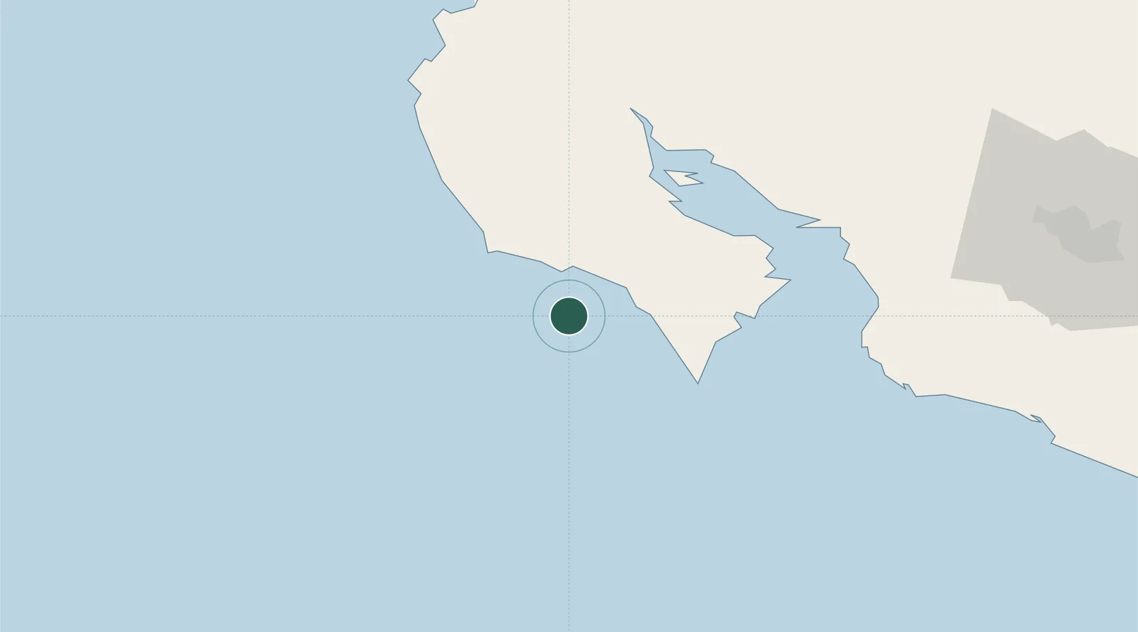
Location
Nearby Logistics Neighbours
Cities
- 1Sámara19 km
- 2Puerto Coyote21 km
- 3Río Frío30 km
- 4Tres Ríos35 km
- 5Caimital37 km
Ports
- 1Puntarenas73 km
- 2Puerto Caldera83 km
- 3Puerto Quepos145 km
- 4Puerto Moin261 km
- 5Puerto Limon268 km
Airports
- 1Nosara Airport35 km
- 2Daniel Oduber Quirós International Airport96 km
- 3La Fortuna Arenal Airport126 km
- 4Upala Airport137 km
- 5Juan Santamaría International Airport139 km
Trade Zones
- 1Zona Franca Puntarenas, SA85 km
- 2Puntarenas Free Trade Zone88 km
- 3Activa Industrial Park127 km
- 4AAA Top Talent Free Trade Zone128 km
- 5Coyol Free Zone132 km
DatabookThe Record of Consolidated Knowledge
Costa Rica beyond logistics?