Transport Functions
Port
Road
Multimodal
Hub Profile
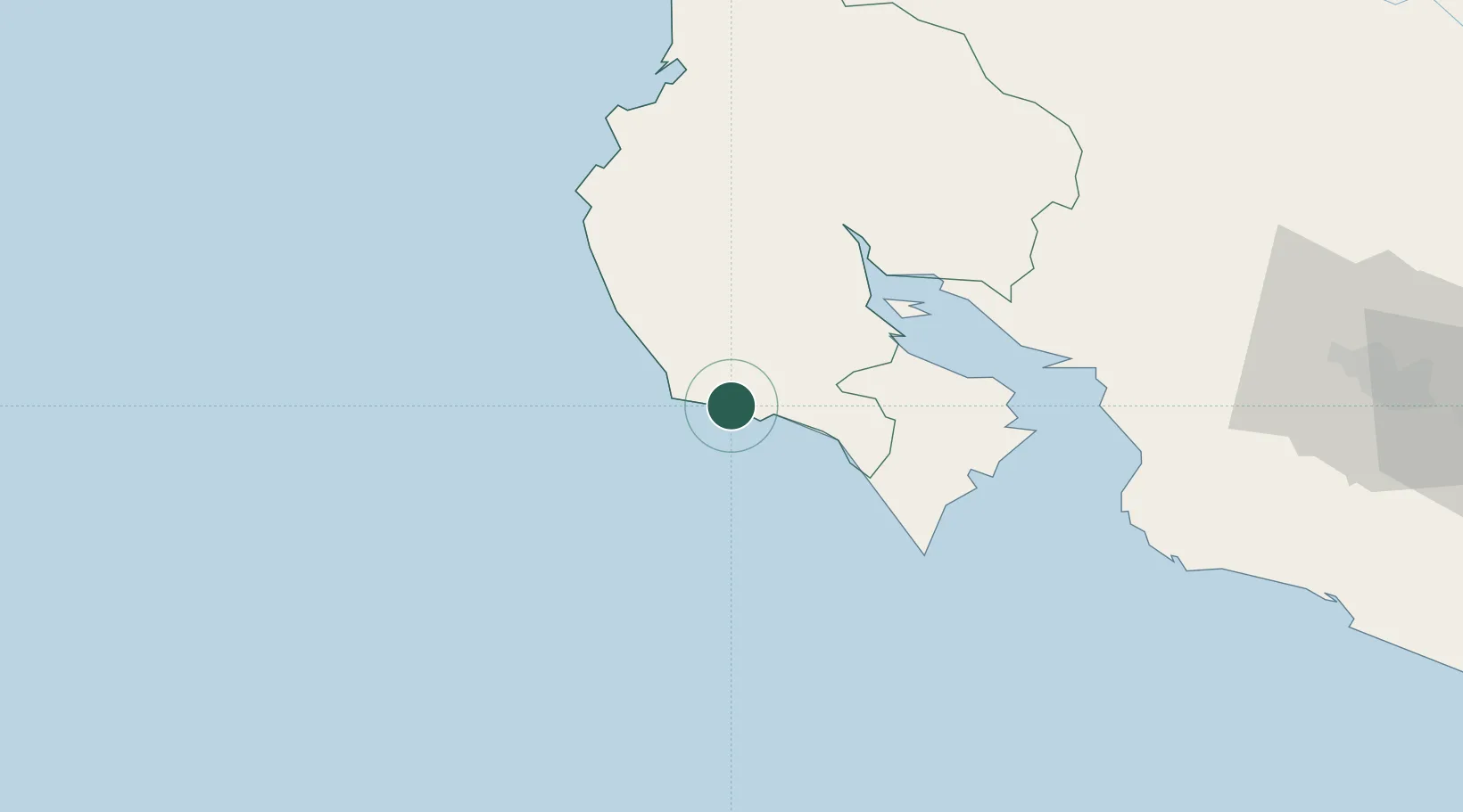
Place type
Populated place
Region
Guanacaste Province
Population
1,071
Time zone
America/Costa_Rica
Elevation
10 m
Location
Nearby Logistics Neighbours
Cities
- 1Pital19 km
- 2Caimital22 km
- 3Mansión30 km
- 4Puerto Coyote31 km
- 5Pavones37 km
Ports
- 1Puntarenas78 km
- 2Puerto Caldera90 km
- 3Puerto Quepos158 km
- 4Puerto Moin269 km
- 5Puerto Limon276 km
Airports
- 1Nosara Airport17 km
- 2Daniel Oduber Quirós International Airport79 km
- 3La Fortuna Arenal Airport123 km
- 4Upala Airport126 km
- 5Juan Santamaría International Airport146 km
Trade Zones
- 1Zona Franca Puntarenas, SA90 km
- 2Puntarenas Free Trade Zone95 km
- 3Activa Industrial Park132 km
- 4AAA Top Talent Free Trade Zone134 km
- 5Coyol Free Zone138 km
DatabookThe Record of Consolidated Knowledge
Costa Rica beyond logistics?