Transport Functions
Rail
Road
Hub Profile
Place type
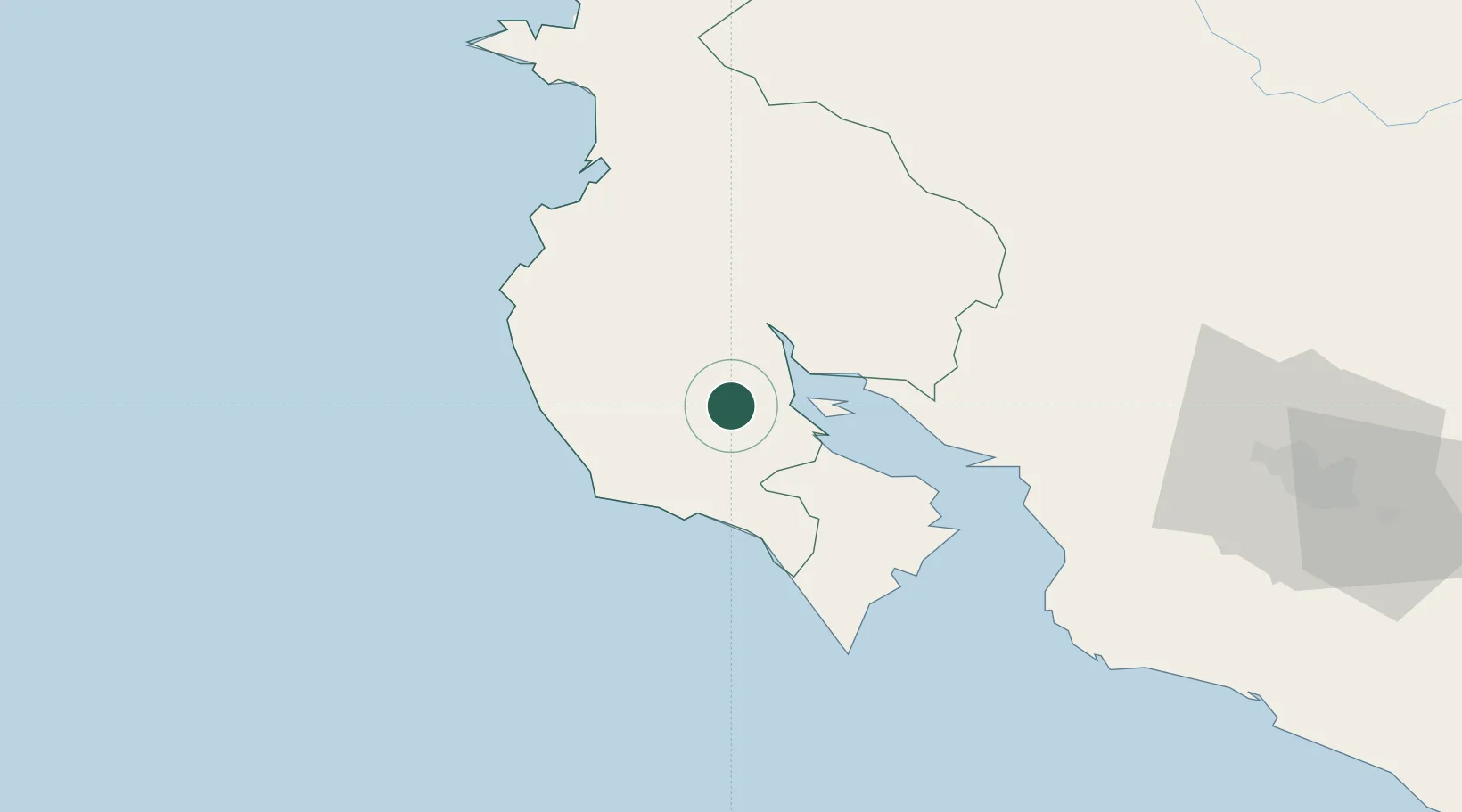
Populated place
Region
Guanacaste Province
Time zone
America/Costa_Rica
Elevation
87 m
Location
Nearby Logistics Neighbours
Ports
- 1Puntarenas60 km
- 2Puerto Caldera74 km
- 3Puerto Quepos151 km
- 4Puerto Moin250 km
- 5Puerto Limon258 km
Airports
- 1Nosara Airport34 km
- 2Daniel Oduber Quirós International Airport58 km
- 3La Fortuna Arenal Airport96 km
- 4Upala Airport96 km
- 5Los Chiles Airport127 km
Trade Zones
- 1Zona Franca Puntarenas, SA72 km
- 2Puntarenas Free Trade Zone79 km
- 3Activa Industrial Park112 km
- 4AAA Top Talent Free Trade Zone114 km
- 5Coyol Free Zone120 km
DatabookThe Record of Consolidated Knowledge
Costa Rica beyond logistics?