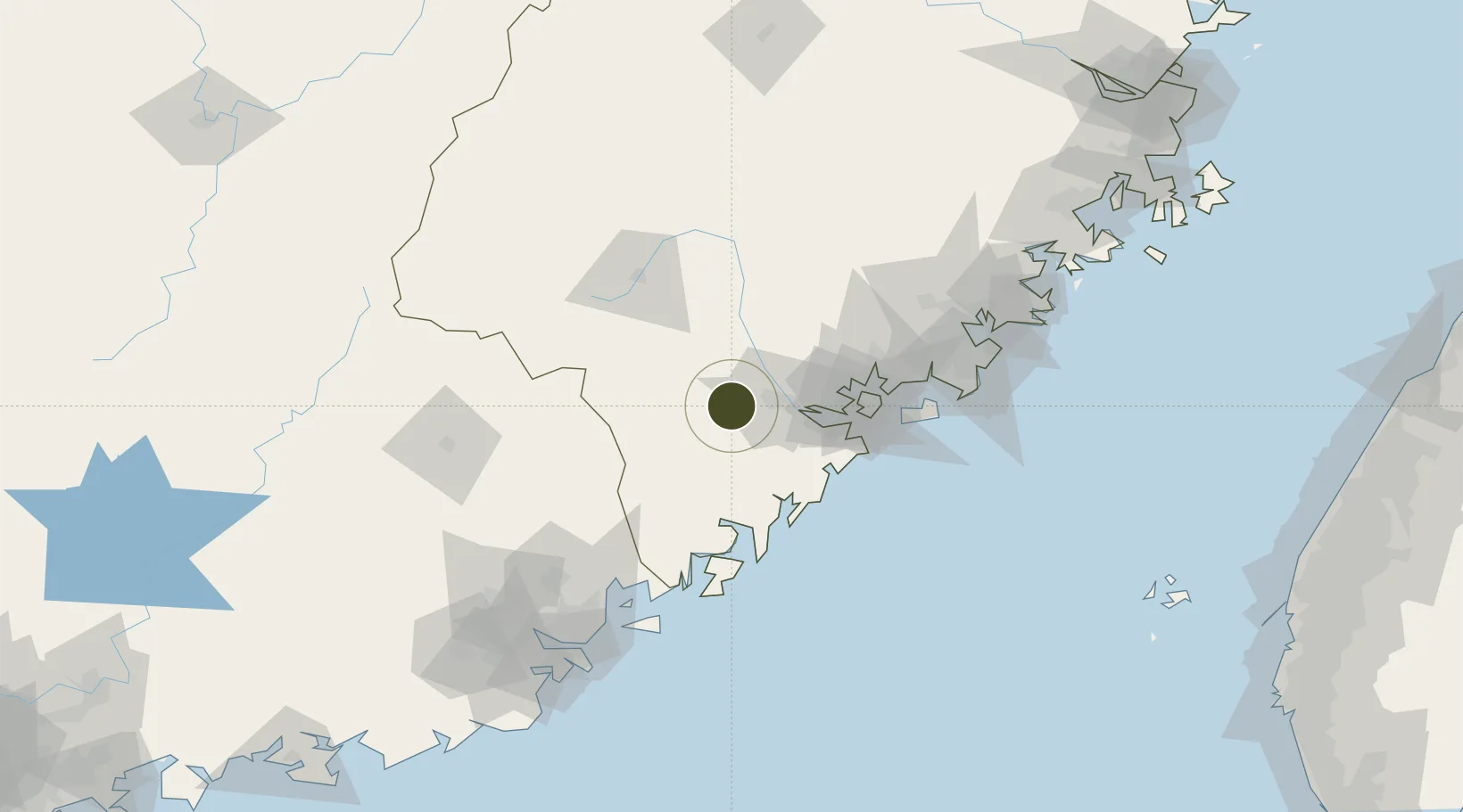
Export Processing Zone · China

Pinghe Industrial Park Active

24.4863°, 117.4704°
500 ha
Zone area
60.5 km
Nearest port
66.8 km
Nearest airport

Gateway access

Nearest neighbours — logibook spatial index (haversine) over the source coordinates

Zone profile

Zone type
Export Processing Zone
Open Zone Map
Region
Fujian
Open Zone Map
Status
Active
Open Zone Map
Management
Public
Open Zone Map
Operator
Working Committee of Pinghe Industrial Park
Open Zone Map
Legal framework
"Control Planning for Ping Ping Industrial Park"
Open Zone Map

Location

Location of ozm-1165
Natural Earth 10m (public domain) · Fujian · ozm-1165 · 24.49, 117.47GoogleOSMYandex

Nearby Logistics Neighbours

Ports
  1. 1Xiamen61 km
  2. 2Zhangzhou72 km
  3. 3Dongshan81 km
  4. 4Chaozhou104 km
  5. 5Quanzhou122 km
Nearest neighbours — logibook spatial index (haversine) over the source coordinates
Airports
  1. 1Xiamen Gaoqi International Airport67 km
  2. 2Kinmen Airport90 km
  3. 3Quanzhou Jinjiang International Airport118 km
  4. 4Meizhou Meixian Changgangji International Airport141 km
  5. 5Jieyang Chaoshan International Airport143 km
Nearest neighbours — logibook spatial index (haversine) over the source coordinates
Cities
  1. 1Zhangzhou19 km
  2. 2Fuzhou19 km
  3. 3Meisha Pt47 km
  4. 4Jiuzhen56 km
  5. 5Xiamen61 km
Nearest neighbours — logibook spatial index (haversine) over the source coordinates
Trade Zones
  1. 1Jinfeng Economic Development Zone18 km
  2. 2Lantian Economic Development Zone26 km
  3. 3Huaan Economic Development Zone28 km
  4. 4Changtai Economic Development Zone37 km
  5. 5Xiamen Export Processing Zone55 km
Nearest neighbours — logibook spatial index (haversine) over the source coordinates
DatabookThe Record of Consolidated Knowledge
China beyond logistics?
Browse databook

All Sources

Trade ZonesOpen Zone Map
CC BY
Portsthe NGA World Port Index
Public domain (US gov)
AirportsOurAirports
Public domain
LocationsUN/LOCODE
UN/LOCODE — free
← China trade zones