Transport Functions
Rail
Airport
Postal
Hub Profile
Place type
Regional capital
Region
Sichuan
Population
13,568,357
Time zone
Asia/Shanghai
Elevation
499 m
Logistics facilities
4
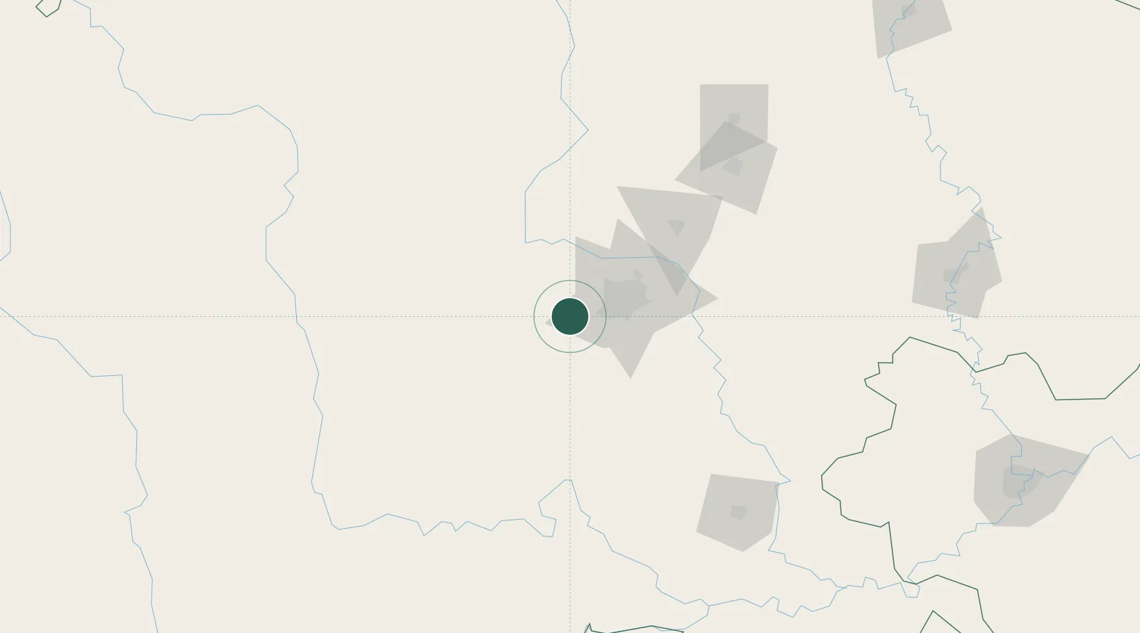
Location
Nearby Logistics Neighbours
Cities
- 1Tianfu, Chengdu74 km
- 2Deyang89 km
- 3Ziyang97 km
- 4Leshan107 km
- 5Mianyang138 km
Ports
- 1Fang-Cheng1082 km
- 2Qinzhou1094 km
- 3Hai Phong1112 km
- 4Hon Gai1119 km
- 5Cam Pha1120 km
Airports
Trade Zones
DatabookThe Record of Consolidated Knowledge
China beyond logistics?