Export Processing Zone · China

Qinglong Economic Development Zone Active
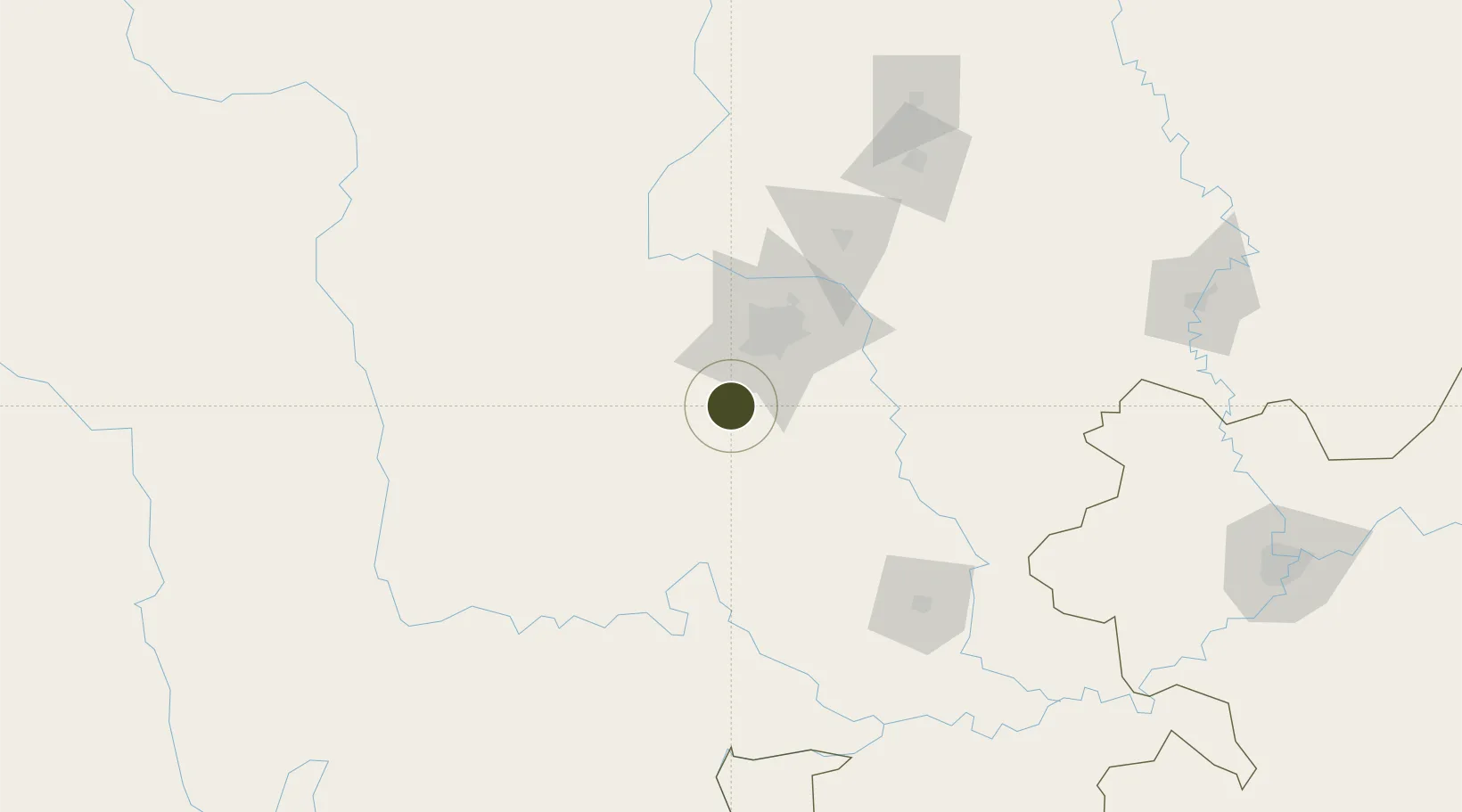
30.3083°, 103.8665°
636 ha
Zone area
1,051.5 km
Nearest port
28.8 km
Nearest airport

Gateway access

Nearest neighbours — logibook spatial index (haversine) over the source coordinates

Zone profile

Zone type
Export Processing Zone
Open Zone Map
Region
Sichuan
Open Zone Map
Status
Active
Open Zone Map
Management
Public
Open Zone Map
Operator
Management Committee of Hebei Qinglong Economic Development Zone
Open Zone Map
Legal framework
Unavailable
Open Zone Map

Location

Location of ozm-1191
Natural Earth 10m (public domain) · Sichuan · ozm-1191 · 30.31, 103.87GoogleOSMYandex

Nearby Logistics Neighbours

Ports
  1. 1Fang-Cheng1052 km
  2. 2Qinzhou1063 km
  3. 3Hai Phong1082 km
  4. 4Hon Gai1089 km
  5. 5Cam Pha1089 km
Nearest neighbours — logibook spatial index (haversine) over the source coordinates
Airports
  1. 1Chengdu Shuangliu International Airport29 km
  2. 2Qionglai Air Base43 km
  3. 3Chengdu Huangtianba Air Base45 km
  4. 4Chengdu Tianfu International Airport55 km
  5. 5Chengdu Huaizhou Airport76 km
Nearest neighbours — logibook spatial index (haversine) over the source coordinates
Cities
  1. 1Chengdu31 km
  2. 2Tianfu, Chengdu56 km
  3. 3Ziyang75 km
  4. 4Leshan80 km
  5. 5Deyang105 km
Nearest neighbours — logibook spatial index (haversine) over the source coordinates
Trade Zones
  1. 1Xinjin Industrial Park15 km
  2. 2Meishan Economic Development Zone26 km
  3. 3Qionglai Economic Development Zone39 km
  4. 4Chengdu Export Processing Zone40 km
  5. 5Danling Economic Development Zone44 km
Nearest neighbours — logibook spatial index (haversine) over the source coordinates
DatabookThe Record of Consolidated Knowledge
China beyond logistics?
Browse databook

All Sources

Trade ZonesOpen Zone Map
CC BY
Portsthe NGA World Port Index
Public domain (US gov)
AirportsOurAirports
Public domain
LocationsUN/LOCODE
UN/LOCODE — free
← China trade zones