Transport Functions
Multimodal
Hub Profile
Place type
Populated place
Region
Anhui
Time zone
Asia/Shanghai
Elevation
47 m
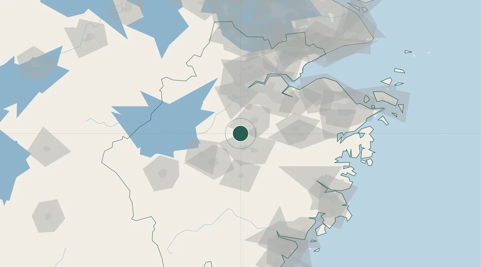
Location
Nearby Logistics Neighbours
Airports
- 1Yiwu Airport21 km
- 2Jiande Qiandaohu General Airport85 km
- 3Hangzhou Xiaoshan International Airport87 km
- 4Hangzhou Jianqiao Airport91 km
- 5Quzhou Airport127 km
DatabookThe Record of Consolidated Knowledge
China beyond logistics?