Transport Functions
Rail
Multimodal
Hub Profile
Place type
District seat
Region
Zhejiang
Population
110,721
Time zone
Asia/Shanghai
Elevation
23 m
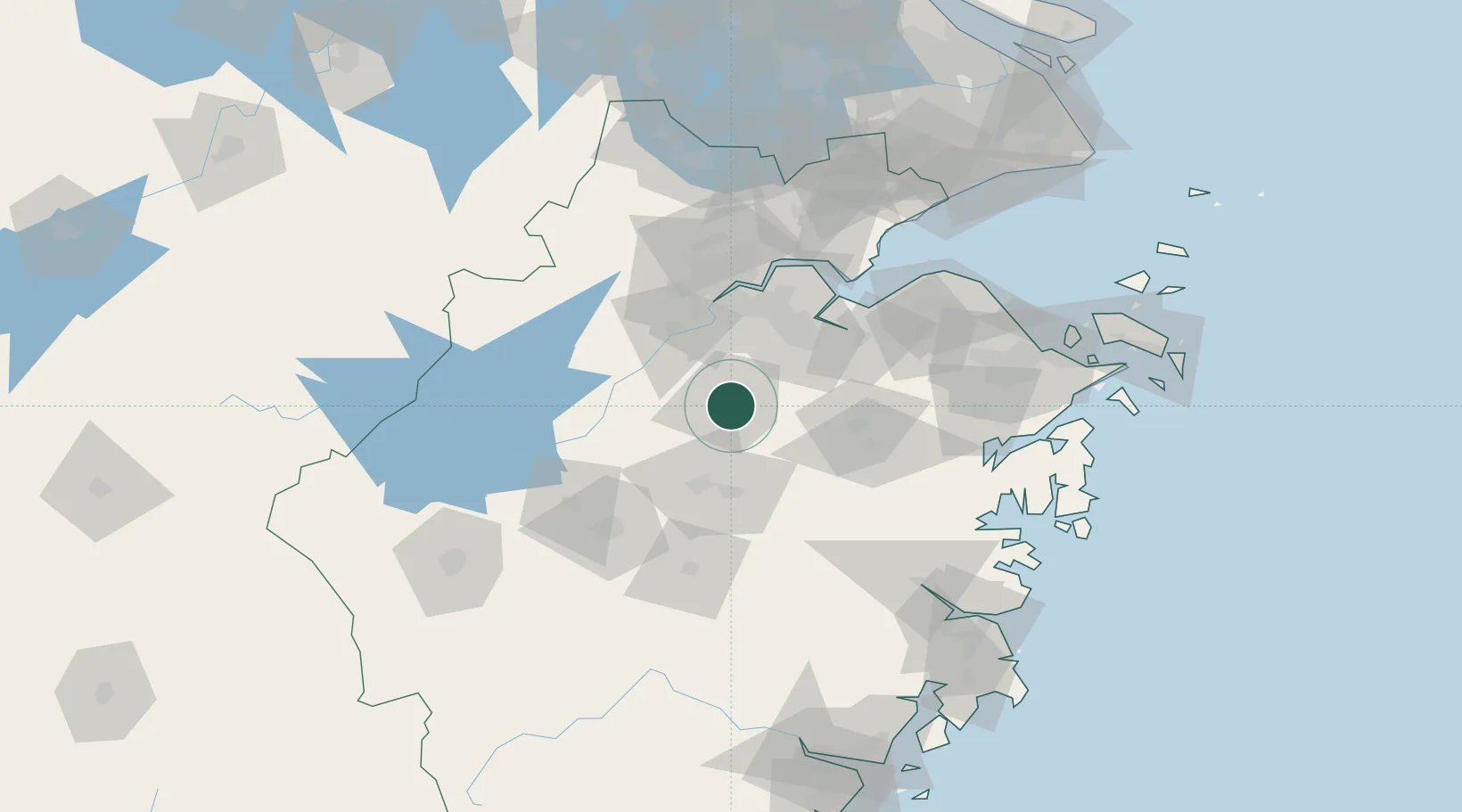
Location
Nearby Logistics Neighbours
Airports
Trade Zones
- 1Shaoxing Paojiang Economic and Technological Development Zone (Shaoxing Paojiang New Area)40 km
- 2Yiwu Economic and Technological Development Zone50 km
- 3Hangzhou Free Trade Zone52 km
- 4Shaoxing Keqiao Economic and Technological Development Zone55 km
- 5Hangzhou Hi-tech Industrial Development Zone (Binjiang District)57 km
DatabookThe Record of Consolidated Knowledge
China beyond logistics?