UN/LOCODE hub · China
CNSTG
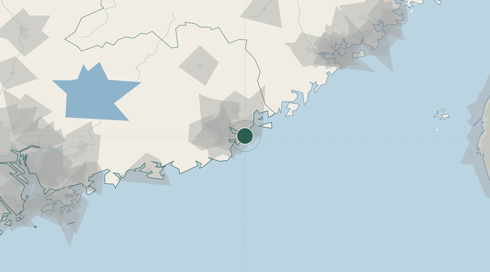
Shantou
23.2896°, 116.7461°
3,838,900
Population
3
Transport functions
2
Container terminals
Transport Functions
Port
Rail
Road
Hub Profile
Place type
Provincial seat
Region
Guangdong
Population
3,838,900
Time zone
Asia/Shanghai
Elevation
3 m
Logistics facilities
2
Container terminals
2
Location
Nearby Logistics Neighbours
DatabookThe Record of Consolidated Knowledge
China beyond logistics?