UN/LOCODE hub · China
CNCOZ
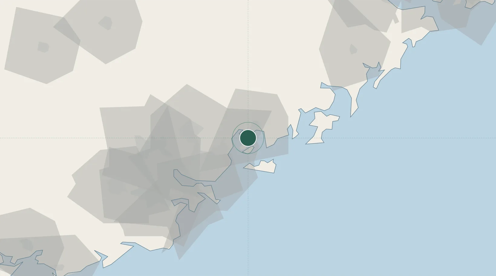
Chaozhou
23.6111°, 116.9722°
1,750,945
Population
3
Transport functions
1
Container terminals
Transport Functions
Port
Rail
Road
Hub Profile
Place type
Provincial seat
Region
Guangdong
Population
1,750,945
Time zone
Asia/Shanghai
Elevation
23 m
Logistics facilities
1
Container terminals
1
Location
Nearby Logistics Neighbours
Ports
- 1Dongshan57 km
- 2Xiamen145 km
- 3Zhangzhou169 km
- 4Quanzhou217 km
- 5Peng-Hu Kang261 km
Airports
DatabookThe Record of Consolidated Knowledge
China beyond logistics?