Transport Functions
Port
Hub Profile
Place type
District seat
Region
Shanghai
Population
130,218
Time zone
Asia/Shanghai
Elevation
3 m
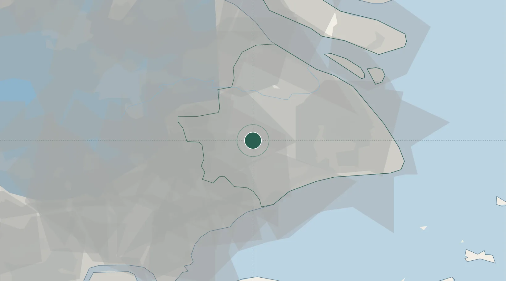
Location
Nearby Logistics Neighbours
Cities
- 1Jinshan15 km
- 2Fengxian24 km
- 3Caojing30 km
- 4Anting33 km
- 5Pudong/Shanghai35 km
Airports
DatabookThe Record of Consolidated Knowledge
China beyond logistics?