Transport Functions
Port
Rail
Road
Airport
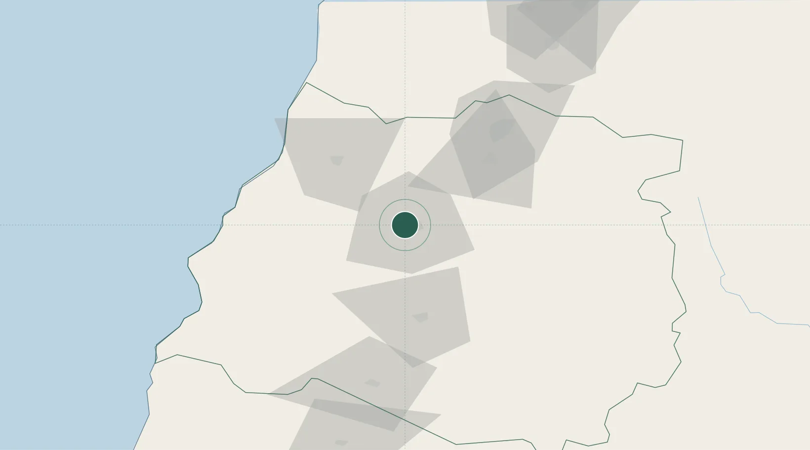
Hub Profile
Place type
Regional capital
Region
Maule Region
Population
197,479
Time zone
America/Santiago
Elevation
112 m
Location
Nearby Logistics Neighbours
Cities
- 1Pencahue15 km
- 2Molina47 km
- 3Linares48 km
- 4Curicó63 km
- 5Constitución70 km
Ports
- 1Lirquen188 km
- 2Penco189 km
- 3Talcahuano193 km
- 4Bahia San Vicente200 km
- 5Puerto San Antonio204 km
Airports
Trade Zones
DatabookThe Record of Consolidated Knowledge
Chile beyond logistics?