UN/LOCODE hub · Chile
CLSVT

San Vicente

-34.4333°, -71.0833°
22,572
Population
2
Transport functions

Transport Functions

Rail
Road
UN/LOCODE

Hub Profile

Place type
Urban district
GeoNames
Region
O'Higgins Region
GeoNames
Population
22,572
GeoNames
Time zone
America/Santiago
GeoNames
Elevation
210 m
GeoNames

Location

Location of CLSVT
Natural Earth 10m (public domain) · O'Higgins Region · CLSVT · -34.43, -71.08GoogleOSMYandex

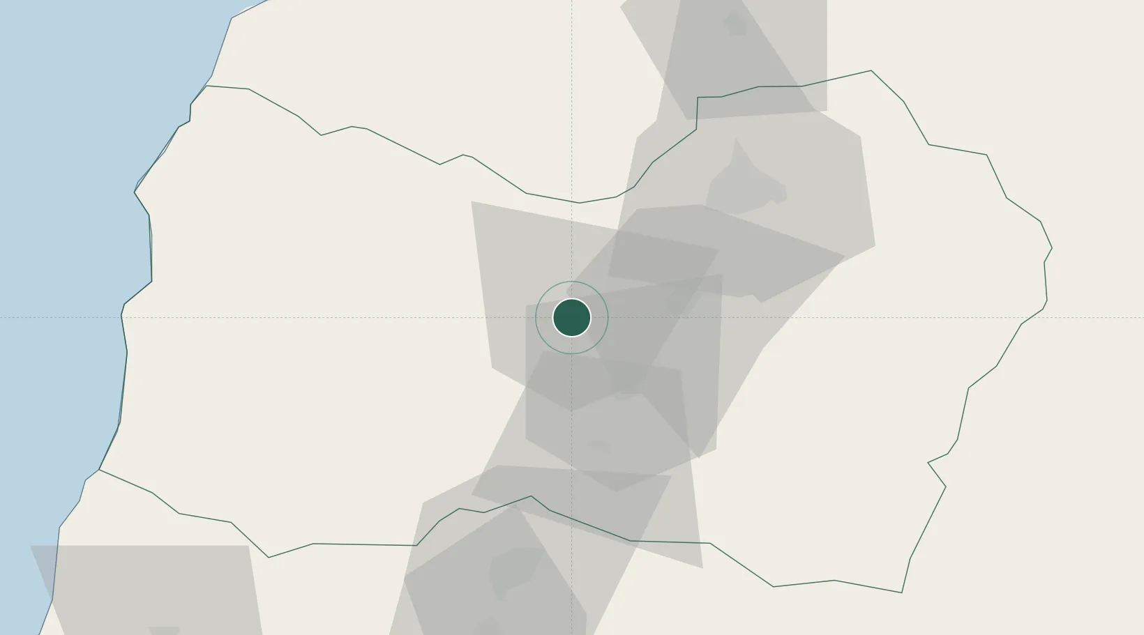
Nearby Logistics Neighbours

Cities
  1. 1Malloa12 km
  2. 2San Fernando20 km
  3. 3Nancahua25 km
  4. 4Las Cabras26 km
  5. 5Requínoa28 km
Nearest neighbours — logibook spatial index (haversine) over the source coordinates
Ports
  1. 1Puerto San Antonio107 km
  2. 2Bahia De Valparaiso163 km
  3. 3Bahia Quintero (Ventanas)190 km
  4. 4Lirquen307 km
  5. 5Penco307 km
Nearest neighbours — logibook spatial index (haversine) over the source coordinates
Airports
  1. 1La Independencia Airport40 km
  2. 2Panguilemo Airport115 km
  3. 3Comodoro Arturo Merino Benítez International Airport119 km
  4. 4Viña del Mar Airport169 km
  5. 5Comodoro D.R. Salomón Airport181 km
Nearest neighbours — logibook spatial index (haversine) over the source coordinates
Trade Zones
  1. 1Zona Franca Mendoza Free Trade Zone247 km
  2. 2Zona Franca Zapala (Zapala Free Trade Zone)501 km
  3. 3Zona Franca de San Luis547 km
  4. 4Justo Daract Free Trade Zone547 km
  5. 5General Pico Free Zone679 km
Nearest neighbours — logibook spatial index (haversine) over the source coordinates
DatabookThe Record of Consolidated Knowledge
Chile beyond logistics?
Browse databook

All Sources

LocationsUN/LOCODE
UN/LOCODE — free
LocationsGeoNames
CC BY 4.0
Portsthe NGA World Port Index
Public domain (US gov)
AirportsOurAirports
Public domain
Trade Zonesthe World Bank SEZ database
CC BY 4.0
Trade ZonesOpen Zone Map
CC BY
← Chile locations