UN/LOCODE hub · Chile
CLNAN

Nancahua

-34.6333°, -71.2000°
2
Transport functions

Transport Functions

Rail
Road
UN/LOCODE

Hub Profile

Region
LI
GeoNames

Location

Location of CLNAN
Natural Earth 10m (public domain) · LI · CLNAN · -34.63, -71.20GoogleOSMYandex

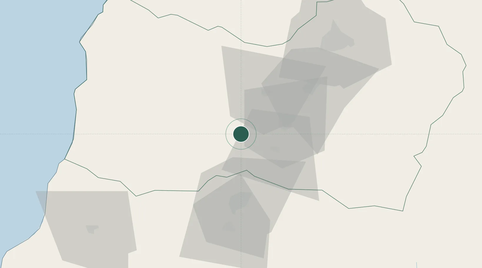
Nearby Logistics Neighbours

Cities
  1. 1Santa Cruz15 km
  2. 2Palmilla16 km
  3. 3San Fernando22 km
  4. 4San Vicente25 km
  5. 5Malloa31 km
Nearest neighbours — logibook spatial index (haversine) over the source coordinates
Ports
  1. 1Puerto San Antonio123 km
  2. 2Bahia De Valparaiso182 km
  3. 3Bahia Quintero (Ventanas)210 km
  4. 4Lirquen282 km
  5. 5Penco283 km
Nearest neighbours — logibook spatial index (haversine) over the source coordinates
Airports
  1. 1La Independencia Airport64 km
  2. 2Panguilemo Airport91 km
  3. 3Comodoro Arturo Merino Benítez International Airport143 km
  4. 4Comodoro D.R. Salomón Airport176 km
  5. 5Viña del Mar Airport189 km
Nearest neighbours — logibook spatial index (haversine) over the source coordinates
Trade Zones
  1. 1Zona Franca Mendoza Free Trade Zone270 km
  2. 2Zona Franca Zapala (Zapala Free Trade Zone)481 km
  3. 3Zona Franca de San Luis560 km
  4. 4Justo Daract Free Trade Zone560 km
  5. 5General Pico Free Zone684 km
Nearest neighbours — logibook spatial index (haversine) over the source coordinates
DatabookThe Record of Consolidated Knowledge
Chile beyond logistics?
Browse databook

All Sources

LocationsUN/LOCODE
UN/LOCODE — free
Portsthe NGA World Port Index
Public domain (US gov)
AirportsOurAirports
Public domain
Trade Zonesthe World Bank SEZ database
CC BY 4.0
Trade ZonesOpen Zone Map
CC BY
← Chile locations