Transport Functions
Rail
Road
Hub Profile
Place type
Populated place
Region
Biobío
Time zone
America/Santiago
Elevation
91 m
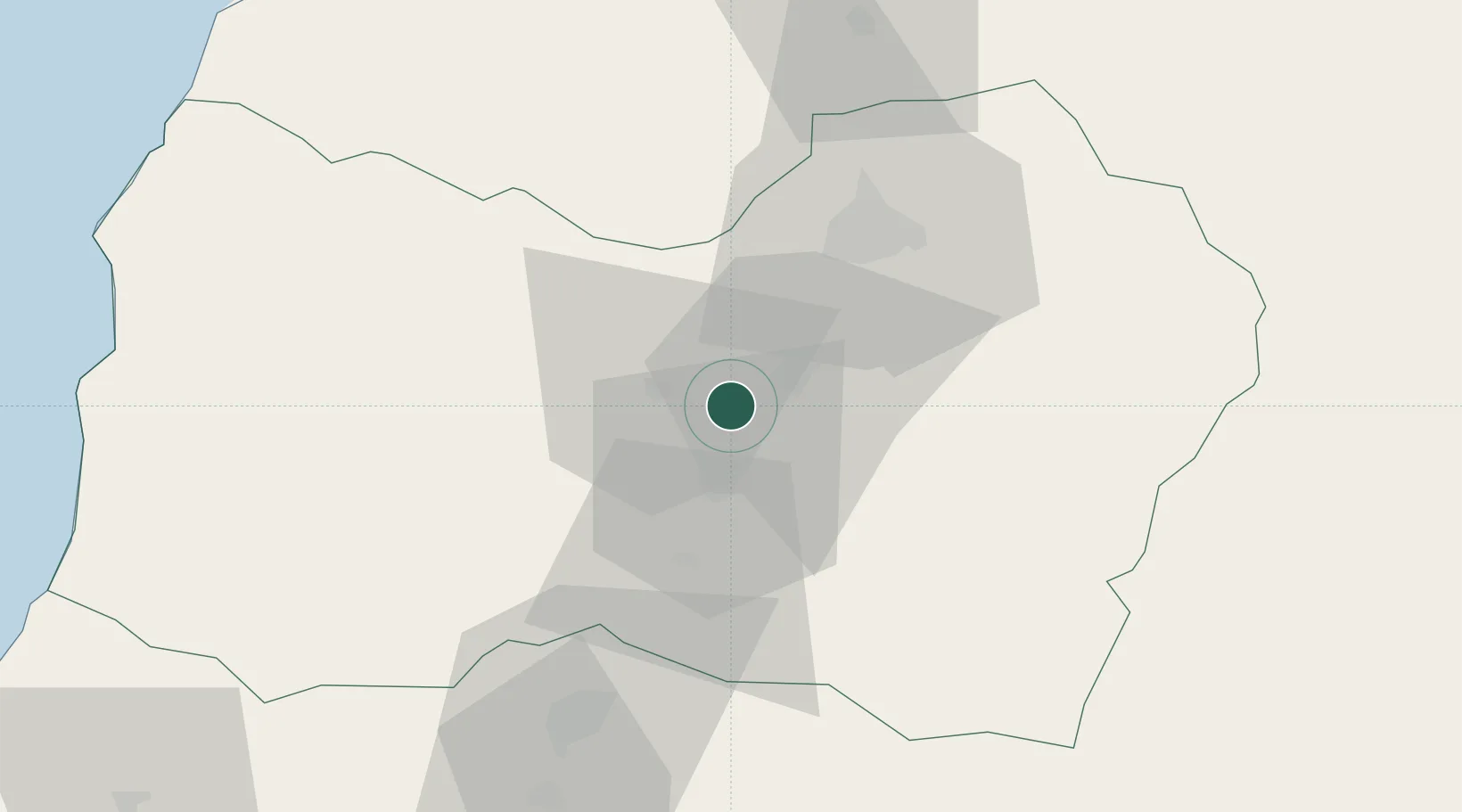
Location
Nearby Logistics Neighbours
Cities
- 1San Vicente12 km
- 2San Fernando15 km
- 3Requínoa21 km
- 4Olivar25 km
- 5Nancahua31 km
Ports
- 1Puerto San Antonio114 km
- 2Bahia De Valparaiso169 km
- 3Bahia Quintero (Ventanas)195 km
- 4Lirquen312 km
- 5Penco313 km
Airports
Trade Zones
DatabookThe Record of Consolidated Knowledge
Chile beyond logistics?