Transport Functions
Rail
Road
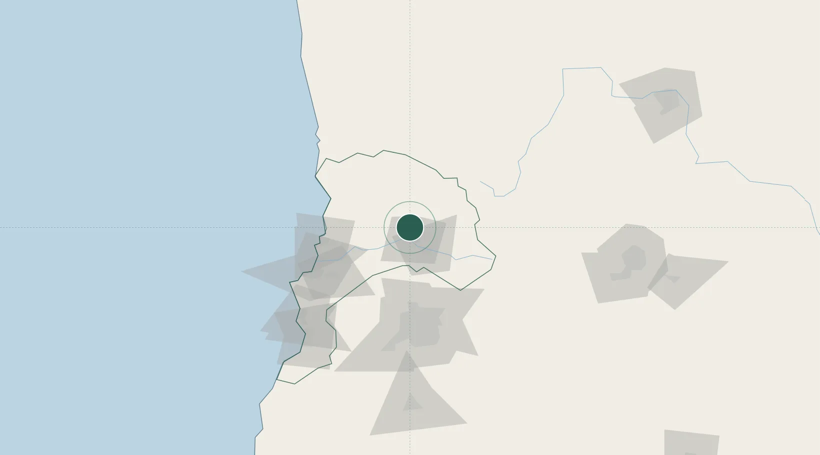
Hub Profile
Place type
Populated place
Region
Valparaíso
Population
15,361
Time zone
America/Santiago
Elevation
820 m
Location
Nearby Logistics Neighbours
Ports
- 1Bahia Quintero (Ventanas)76 km
- 2Bahia De Valparaiso94 km
- 3Puerto San Antonio134 km
- 4Bahia Herradura Guayacan303 km
- 5Coquimbo304 km
Airports
Trade Zones
DatabookThe Record of Consolidated Knowledge
Chile beyond logistics?