Transport Functions
Port
Road
Border Crossing
Hub Profile
Region
AI
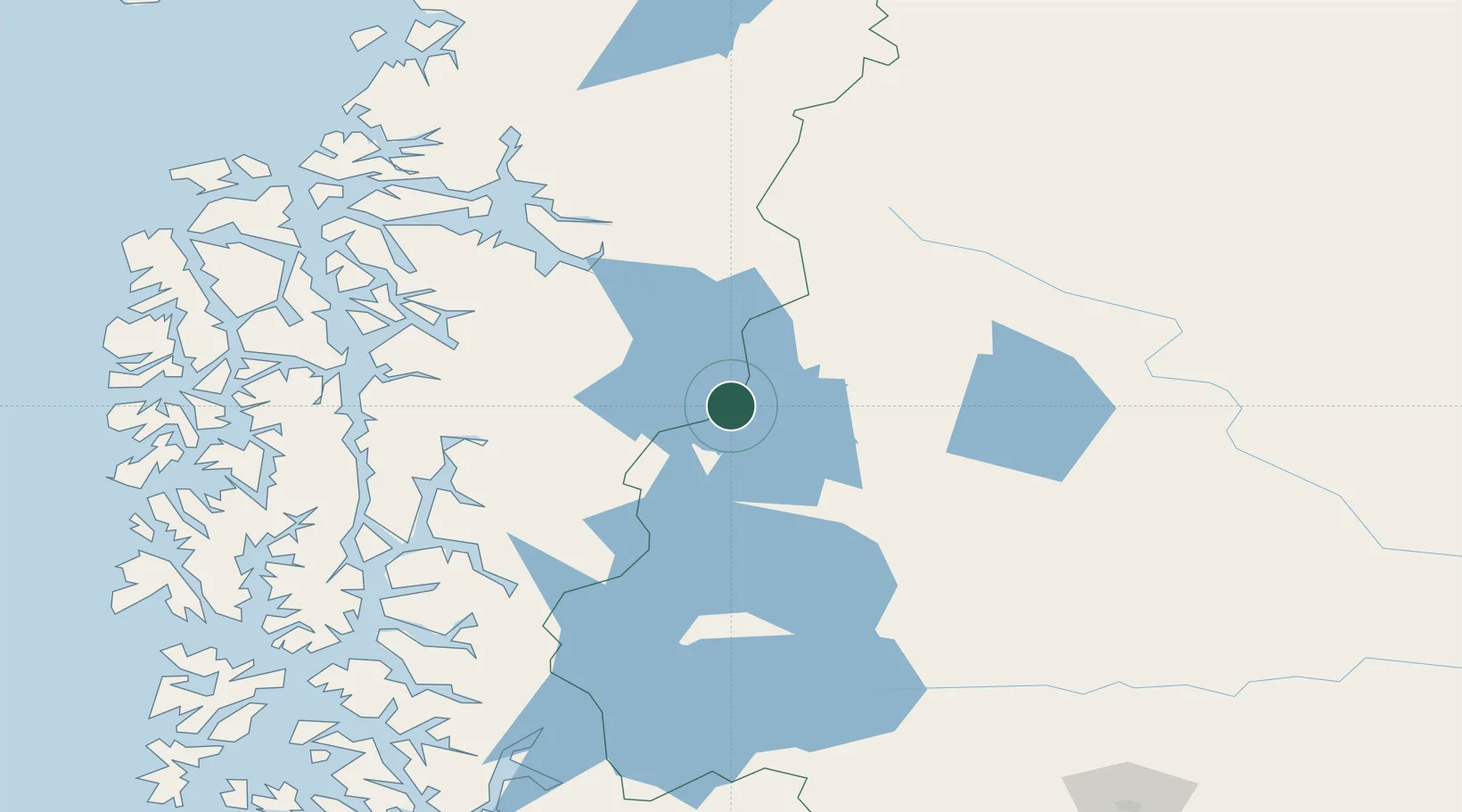
Location
Nearby Logistics Neighbours
Cities
- 1O'Higgins45 km
- 2Tortel133 km
- 3Puerto Edén134 km
- 4Puerto Natales317 km
- 5Santa Cruz333 km
Ports
- 1Puerto Natales317 km
- 2Puerto Santa Cruz326 km
- 3Puerto San Julian365 km
- 4Puerto Chacabuco378 km
- 5Puerto Gallegos403 km
Airports
DatabookThe Record of Consolidated Knowledge
Chile beyond logistics?