Transport Functions
Port
Airport
Hub Profile
Place type
Populated place
Region
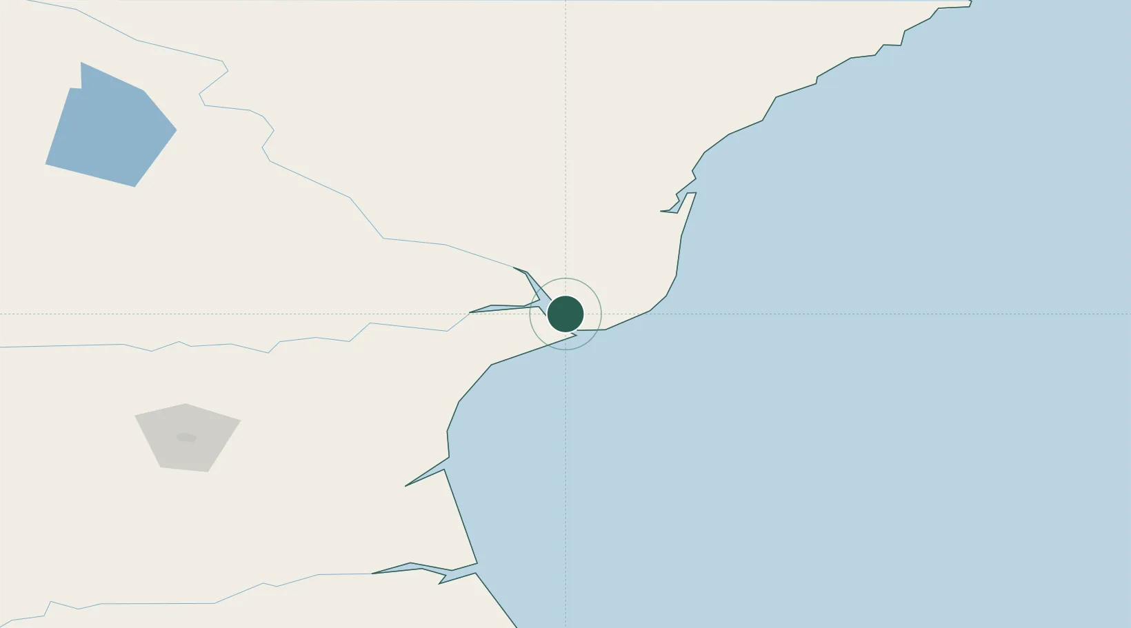
Cordoba
Time zone
America/Argentina/Cordoba
Elevation
933 m
Location
Nearby Logistics Neighbours
Cities
- 1San Julian94 km
- 2Río Gallegos188 km
- 3Rio Cullen310 km
- 4Puerto Deseado311 km
- 5Bahía San Gregorio313 km
Ports
- 1Puerto San Julian93 km
- 2Puerto Gallegos182 km
- 3Puerto Deseado312 km
- 4Puerto Sara316 km
- 5Caleta Clarencia341 km
Airports
DatabookThe Record of Consolidated Knowledge
Argentina beyond logistics?