UN/LOCODE hub · Chile
CLCCA

Chacao

-41.8333°, -73.5333°
2
Transport functions

Transport Functions

Port
Road
UN/LOCODE

Hub Profile

Place type
Urban district
GeoNames
Region
Los Lagos Region
GeoNames
Time zone
America/Santiago
GeoNames
Elevation
11 m
GeoNames

Location

Location of CLCCA
Natural Earth 10m (public domain) · Los Lagos Region · CLCCA · -41.83, -73.53GoogleOSMYandex

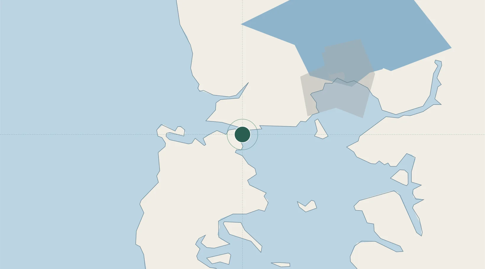
Nearby Logistics Neighbours

Cities
  1. 1Pargua9 km
  2. 2Maullín24 km
  3. 3Ancud25 km
  4. 4Quemchi34 km
  5. 5Calbuco34 km
Nearest neighbours — logibook spatial index (haversine) over the source coordinates
Ports
  1. 1Puerto Quemchi36 km
  2. 2Puerto Montt61 km
  3. 3Puerto Castro75 km
  4. 4Puerto De Corral219 km
  5. 5Bahia De Valdivia227 km
Nearest neighbours — logibook spatial index (haversine) over the source coordinates
Airports
  1. 1El Tepual International Airport57 km
  2. 2Mocopulli Airport58 km
  3. 3Nuevo Chaitén Airport120 km
  4. 4Cañal Bajo Carlos Hott Siebert Airport142 km
  5. 5El Bolsón Airfield166 km
Nearest neighbours — logibook spatial index (haversine) over the source coordinates
Trade Zones
  1. 1Zona Franca Zapala (Zapala Free Trade Zone)438 km
  2. 2Comodoro Free Trade Zone657 km
  3. 3Comodoro Free Trade Zone Zona Franca Chubut659 km
  4. 4La Zona Franca Santa Cruz (ZFSC) - Caleta Olivia704 km
  5. 5Zona Franca Bahía Blanca1016 km
Nearest neighbours — logibook spatial index (haversine) over the source coordinates
DatabookThe Record of Consolidated Knowledge
Chile beyond logistics?
Browse databook

All Sources

LocationsUN/LOCODE
UN/LOCODE — free
Portsthe NGA World Port Index
Public domain (US gov)
AirportsOurAirports
Public domain
Trade Zonesthe World Bank SEZ database
CC BY 4.0
Trade ZonesOpen Zone Map
CC BY
← Chile locations