Transport Functions
Rail
Road
Hub Profile
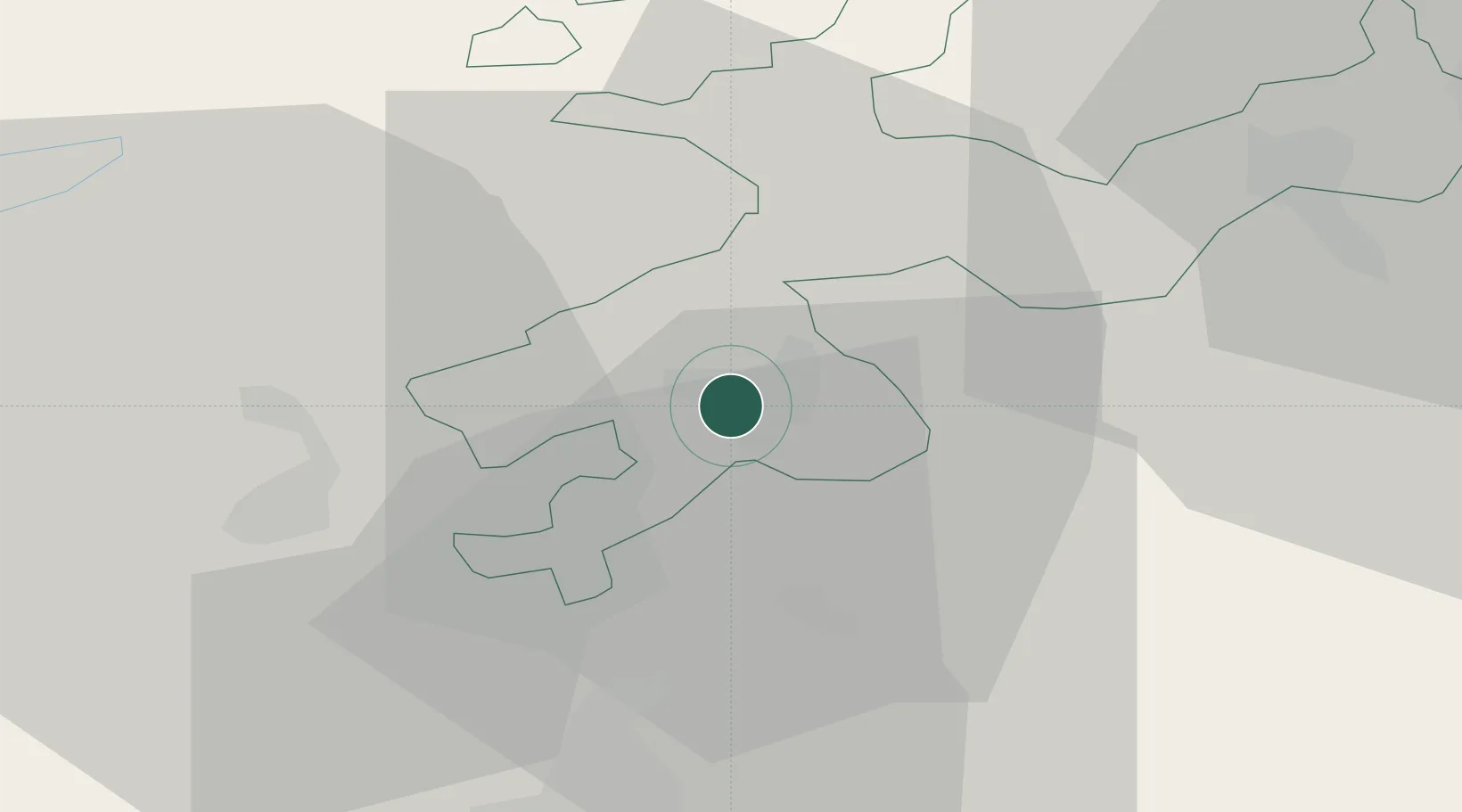
Place type
Populated place
Region
Solothurn
Population
9,268
Time zone
Europe/Zurich
Elevation
434 m
Location
Nearby Logistics Neighbours
Cities
- 1Biberist2 km
- 2Derendingen2 km
- 3Luterbach3 km
- 4Subingen4 km
- 5Riedholz4 km
Ports
- 1Savona329 km
- 2Genova329 km
- 3Rada Di Vado334 km
- 4Chiavari - Lavagna350 km
- 5Imperia371 km
Airports
- 1Grenchen Airfield10 km
- 2Bern Airport32 km
- 3EuroAirport Basel–Mulhouse–Freiburg45 km
- 4Emmen Air Base58 km
- 5Les Eplatures Airport59 km
Trade Zones
- 1ZFU Mulhouse63 km
- 2ZFU Montbéliard67 km
- 3ZFU Belfort75 km
- 4PESA - Port-Franc et Entrepôts de Lausanne-Chavornay SA93 km
- 5Port Franc Vevey111 km
DatabookThe Record of Consolidated Knowledge
Switzerland beyond logistics?