Transport Functions
Rail
Road
Hub Profile
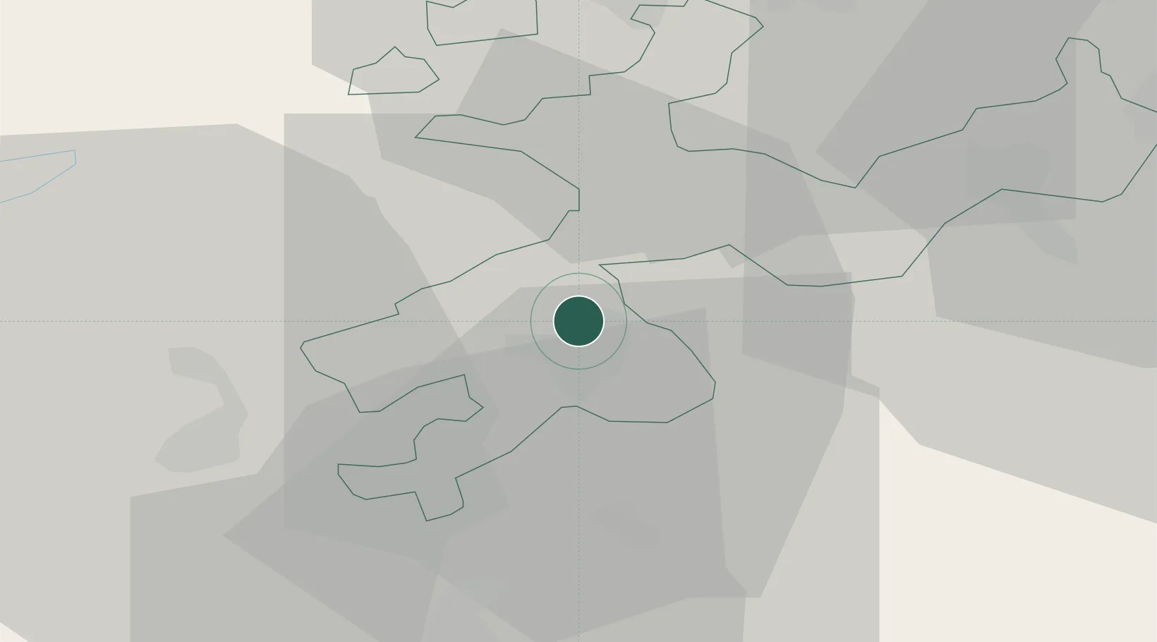
Place type
Populated place
Region
Solothurn
Population
1,576
Time zone
Europe/Zurich
Elevation
474 m
Location
Nearby Logistics Neighbours
Cities
- 1Luterbach2 km
- 2Zuchwil4 km
- 3Subingen5 km
- 4Biberist6 km
- 5Derendingen6 km
Ports
- 1Savona332 km
- 2Genova332 km
- 3Rada Di Vado337 km
- 4Chiavari - Lavagna353 km
- 5Imperia374 km
Airports
- 1Grenchen Airfield13 km
- 2Bern Airport36 km
- 3EuroAirport Basel–Mulhouse–Freiburg41 km
- 4Emmen Air Base58 km
- 5Les Eplatures Airport61 km
Trade Zones
- 1ZFU Mulhouse60 km
- 2ZFU Montbéliard66 km
- 3ZFU Belfort73 km
- 4PESA - Port-Franc et Entrepôts de Lausanne-Chavornay SA96 km
- 5Port Franc Vevey114 km
DatabookThe Record of Consolidated Knowledge
Switzerland beyond logistics?