Transport Functions
Rail
Road
Hub Profile
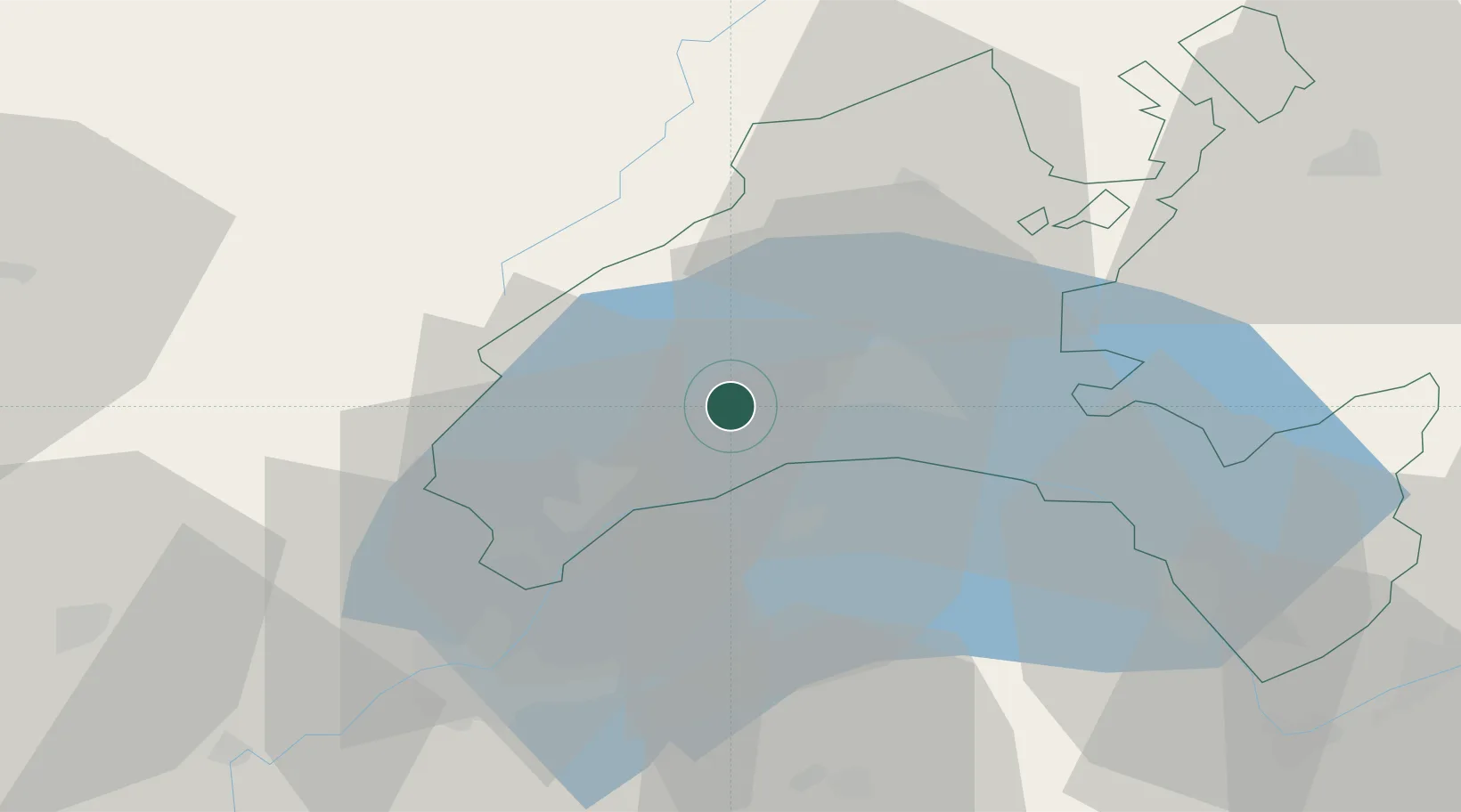
Place type
Populated place
Region
Vaud
Population
997
Time zone
Europe/Zurich
Elevation
569 m
Location
Nearby Logistics Neighbours
Cities
- 1Denens3 km
- 2Apples4 km
- 3Bougy-Villars8 km
- 4Rolle10 km
- 5Saint-Sulpice12 km
Ports
- 1Savona294 km
- 2Rada Di Vado297 km
- 3Genova306 km
- 4San Remo319 km
- 5Imperia319 km
Airports
- 1Annemasse Airfield38 km
- 2Geneva Cointrin International Airport39 km
- 3Payerne Air Base53 km
- 4Les Eplatures Airport69 km
- 5Annecy Meythet airport70 km
DatabookThe Record of Consolidated Knowledge
Switzerland beyond logistics?