Transport Functions
Multimodal
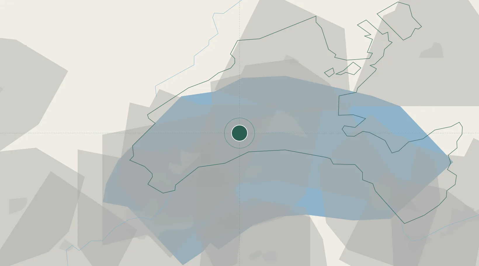
Hub Profile
Place type
Populated place
Region
Vaud
Time zone
Europe/Zurich
Elevation
509 m
Location
Nearby Logistics Neighbours
Cities
- 1Yens3 km
- 2Apples4 km
- 3Saint-Sulpice9 km
- 4Bougy-Villars10 km
- 5Bussigny-près-Lausanne10 km
Ports
- 1Savona292 km
- 2Rada Di Vado295 km
- 3Genova304 km
- 4San Remo318 km
- 5Imperia318 km
Airports
- 1Annemasse Airfield39 km
- 2Geneva Cointrin International Airport41 km
- 3Payerne Air Base51 km
- 4Les Eplatures Airport68 km
- 5Annecy Meythet airport71 km
DatabookThe Record of Consolidated Knowledge
Switzerland beyond logistics?