UN/LOCODE hub · Switzerland
CHBYV

Bougy-Villars

46.4667°, 6.3500°
1
Transport functions

Transport Functions

Multimodal
UN/LOCODE

Hub Profile

Place type
Populated place
GeoNames
Region
Vaud
GeoNames
Time zone
Europe/Zurich
GeoNames
Elevation
613 m
GeoNames

Location

Location of CHBYV
Natural Earth 10m (public domain) · Vaud · CHBYV · 46.47, 6.35GoogleOSMYandex

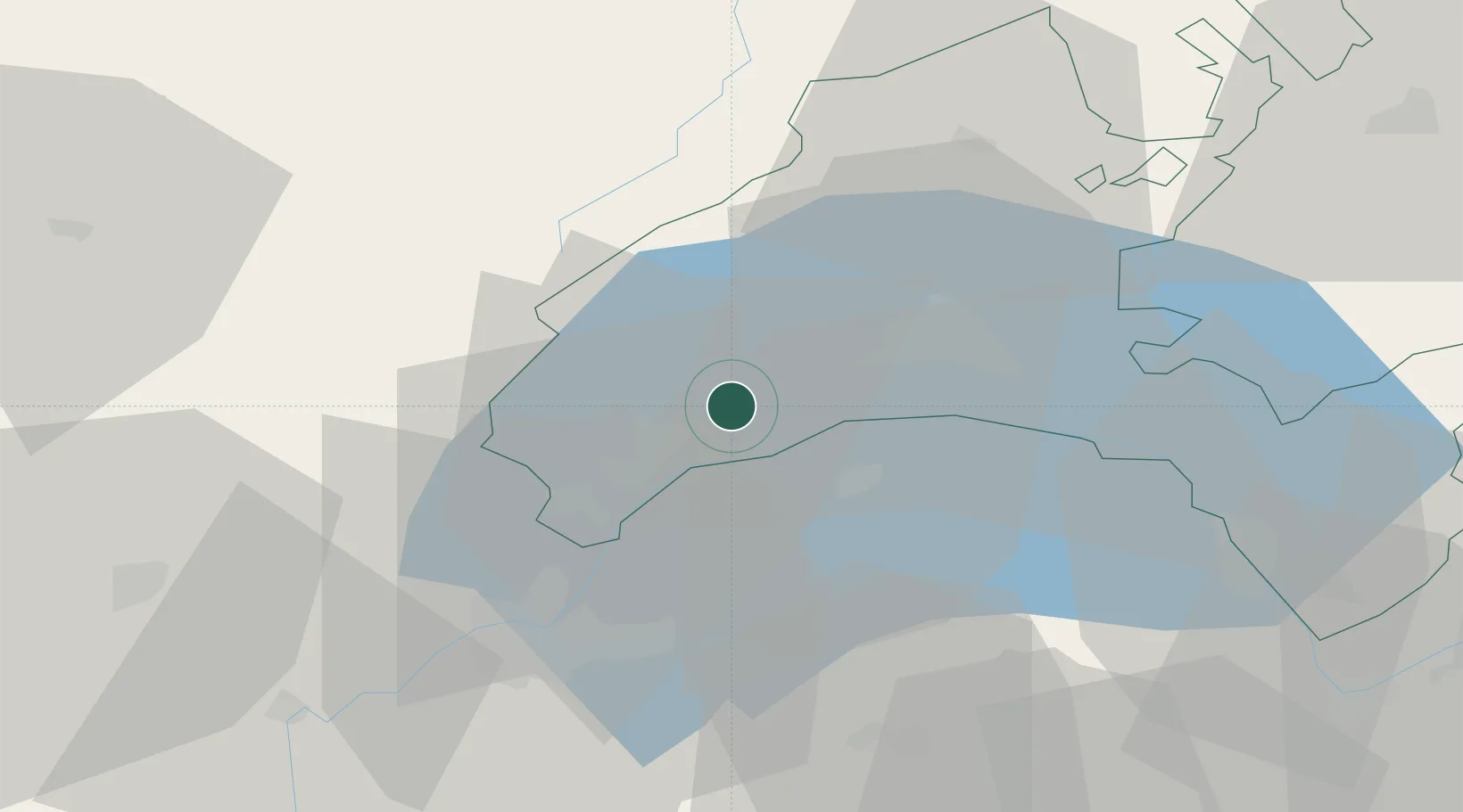
Nearby Logistics Neighbours

Cities
  1. 1Rolle3 km
  2. 2Bursins5 km
  3. 3Bursinel6 km
  4. 4Yens8 km
  5. 5Denens10 km
Nearest neighbours — logibook spatial index (haversine) over the source coordinates
Ports
  1. 1Savona292 km
  2. 2Rada Di Vado295 km
  3. 3Genova305 km
  4. 4Monaco315 km
  5. 5San Remo315 km
Nearest neighbours — logibook spatial index (haversine) over the source coordinates
Airports
  1. 1Annemasse Airfield31 km
  2. 2Geneva Cointrin International Airport31 km
  3. 3Payerne Air Base60 km
  4. 4Annecy Meythet airport63 km
  5. 5Les Eplatures Airport77 km
Nearest neighbours — logibook spatial index (haversine) over the source coordinates
Trade Zones
  1. 1Port Franc Vevey17 km
  2. 2PESA - Port-Franc et Entrepôts de Lausanne-Chavornay SA32 km
  3. 3Geneva Cointrin International Airport Free Port35 km
  4. 4Geneva Freeport, La Praille, Geneva36 km
  5. 5Port Franc de Geneve37 km
Nearest neighbours — logibook spatial index (haversine) over the source coordinates
DatabookThe Record of Consolidated Knowledge
Switzerland beyond logistics?
Browse databook

All Sources

LocationsUN/LOCODE
UN/LOCODE — free
Portsthe NGA World Port Index
Public domain (US gov)
AirportsOurAirports
Public domain
Trade Zonesthe World Bank SEZ database
CC BY 4.0
Trade ZonesOpen Zone Map
CC BY
← Switzerland locations