Transport Functions
Rail
Road
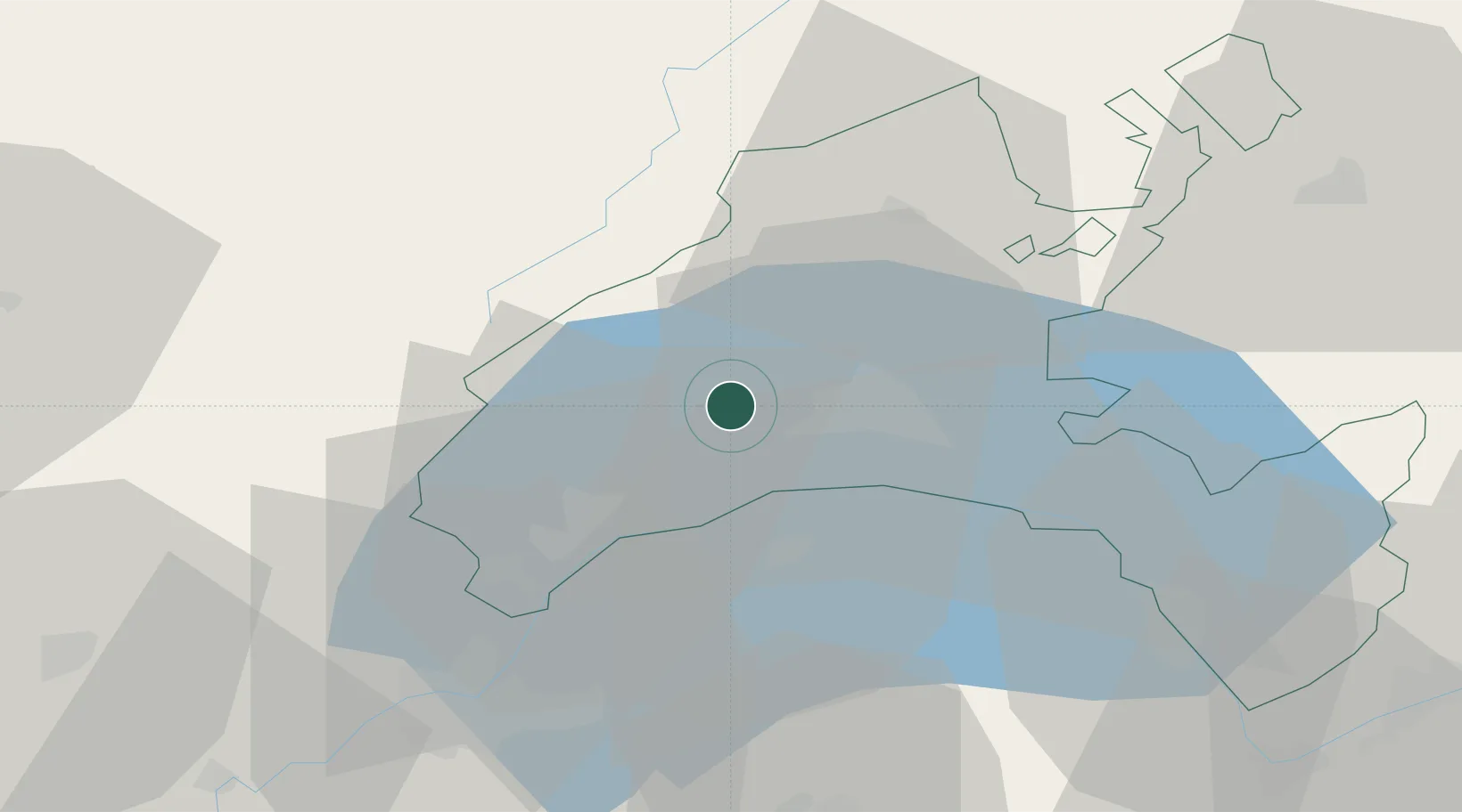
Hub Profile
Place type
District seat
Region
Vaud
Population
1,201
Time zone
Europe/Zurich
Elevation
630 m
Location
Nearby Logistics Neighbours
Cities
- 1Yens4 km
- 2Denens4 km
- 3Bussigny-près-Lausanne10 km
- 4Penthaz11 km
- 5Penthalaz11 km
Ports
- 1Savona296 km
- 2Rada Di Vado299 km
- 3Genova308 km
- 4San Remo322 km
- 5Imperia322 km
Airports
- 1Annemasse Airfield42 km
- 2Geneva Cointrin International Airport43 km
- 3Payerne Air Base49 km
- 4Les Eplatures Airport65 km
- 5Annecy Meythet airport74 km
DatabookThe Record of Consolidated Knowledge
Switzerland beyond logistics?