Transport Functions
Rail
Road
Hub Profile
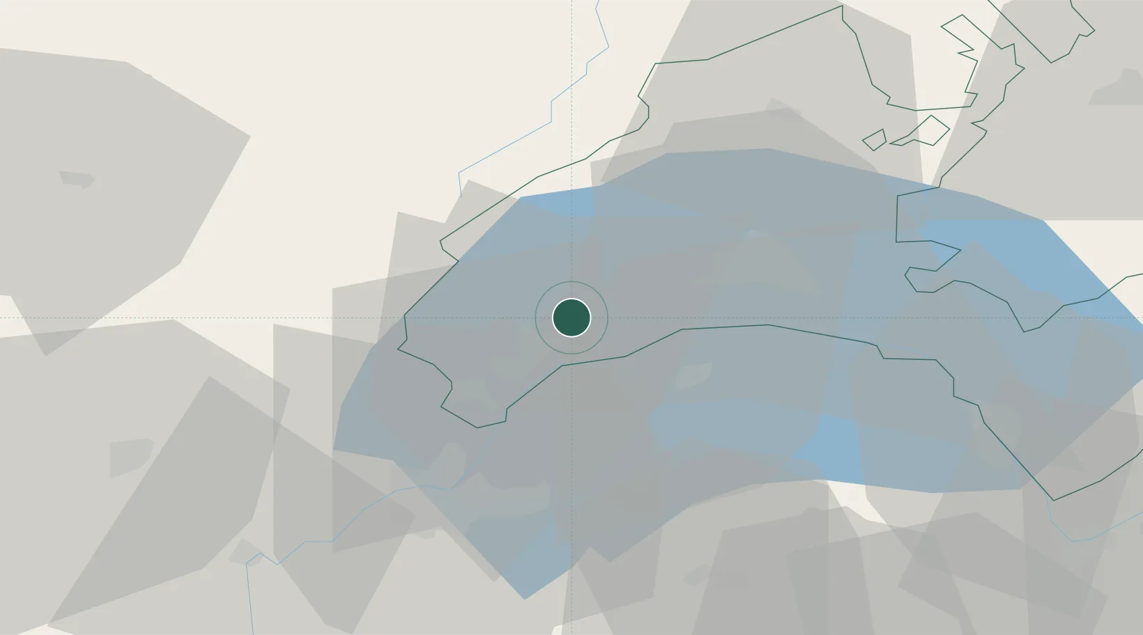
Place type
Populated place
Region
Vaud
Population
4,425
Time zone
Europe/Zurich
Elevation
389 m
Location
Nearby Logistics Neighbours
Cities
- 1Bougy-Villars3 km
- 2Bursins3 km
- 3Bursinel5 km
- 4Prangins9 km
- 5Yens10 km
Ports
- 1Savona294 km
- 2Rada Di Vado296 km
- 3Genova307 km
- 4Monaco316 km
- 5San Remo316 km
Airports
- 1Geneva Cointrin International Airport30 km
- 2Annemasse Airfield31 km
- 3Payerne Air Base62 km
- 4Annecy Meythet airport62 km
- 5Les Eplatures Airport78 km
DatabookThe Record of Consolidated Knowledge
Switzerland beyond logistics?