UN/LOCODE hub · Switzerland
CHWGA
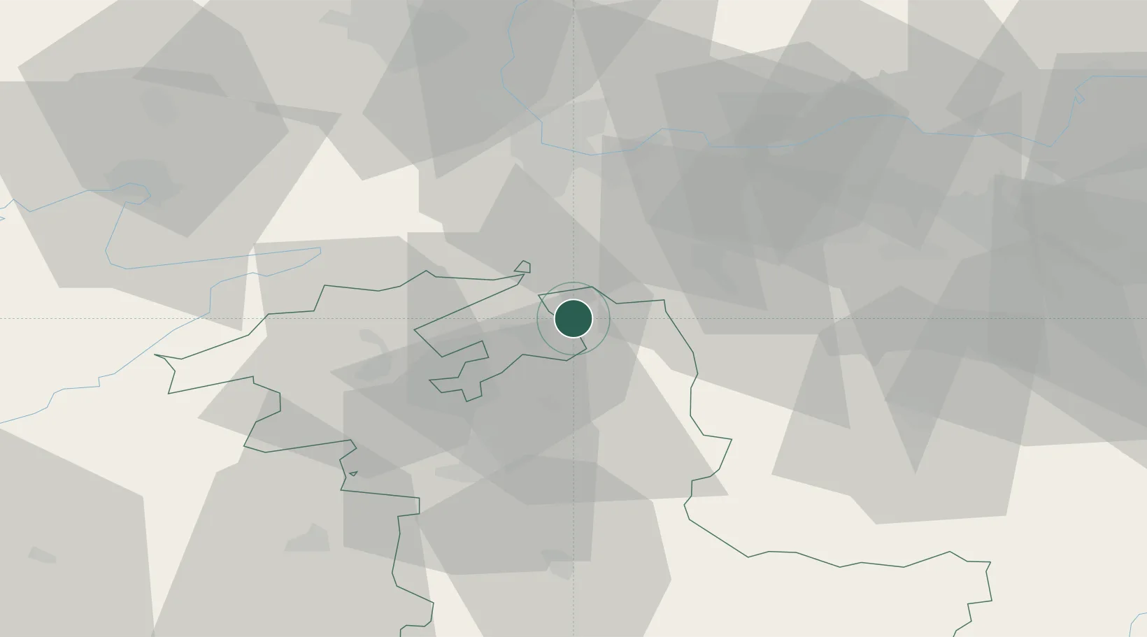
Wangen an der Aare
47.2333°, 7.6500°
1,944
Population
2
Transport functions
Transport Functions
Rail
Road
Hub Profile
Place type
Populated place
Region
Bern
Population
1,944
Time zone
Europe/Zurich
Elevation
421 m
Location
Nearby Logistics Neighbours
Cities
- 1Oberbipp4 km
- 2Niederbipp5 km
- 3Subingen5 km
- 4Luterbach5 km
- 5Riedholz6 km
Ports
- 1Genova330 km
- 2Savona331 km
- 3Rada Di Vado336 km
- 4Chiavari - Lavagna351 km
- 5Imperia374 km
Airports
- 1Grenchen Airfield19 km
- 2Bern Airport37 km
- 3EuroAirport Basel–Mulhouse–Freiburg42 km
- 4Emmen Air Base52 km
- 5Alpnach Air Base58 km
Trade Zones
- 1ZFU Mulhouse62 km
- 2ZFU Montbéliard72 km
- 3ZFU Belfort78 km
- 4PESA - Port-Franc et Entrepôts de Lausanne-Chavornay SA101 km
- 5Port Franc Vevey119 km
DatabookThe Record of Consolidated Knowledge
Switzerland beyond logistics?